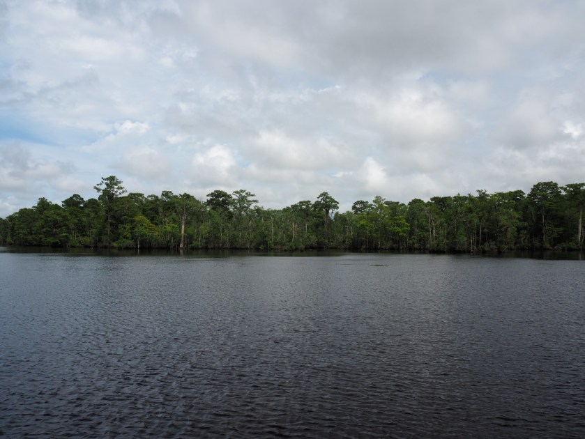
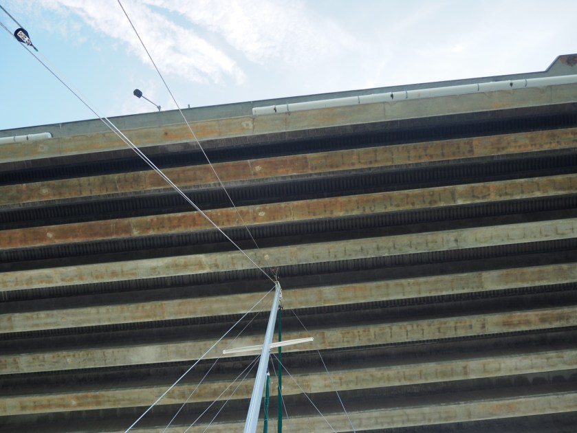
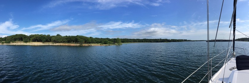
Day 4 – 2 bridges. 30 miles. We got off the dock easily this morning and headed on our way by 9AM. Every stretch of the ICW has been a little different each day. Today took us through the Cape Fear River. We had the tide against us for a couple hours and it was slow going through mostly sea-like conditions in the wide and deep shipping lanes.
We then turned back up into the ICW. Lori found a website where the Corps of Engineers posts images of current depth soundings all along the ICW, which provide the latest status on shoals and problem areas. We referred to that along the way. So we knew we were in for a couple of very low stretches today. We actually bumped bottom once today! The red and orange marks in the middle of the screenshot below indicate only 4 to 5-foot depths at mean-low-tide stretching across the entire width of the ICW channel. We draw 5 feet. AND we were hitting this stretch at low tide. Exciting!

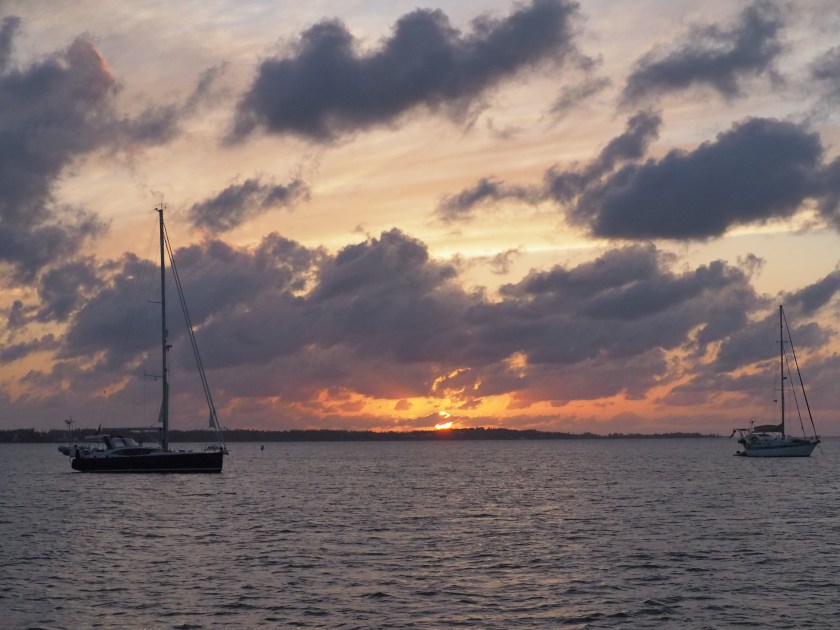
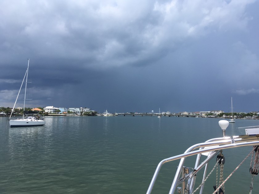
We pulled into Wrightsville just in time to get hit by our first thunderstorm/deluge as we were anchoring. Not bad. I’ll take it.
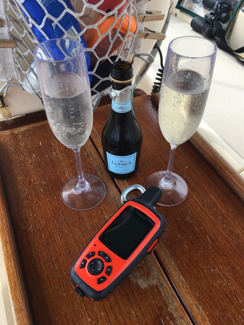
We grilled on the boat and rocked out until sunset. It was another lovely night.

The next post in our ICW journey: https://sheila365.com/2019/07/13/mm229/
(Note: If you’d like to read the entire 2-week adventure from the beginning, THIS LINK will take you to the first post in the series.)
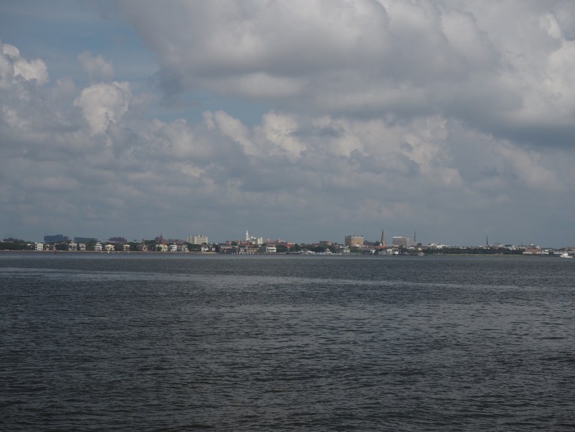
 Civilization, bridges, and traffic from the air and from the sea…
 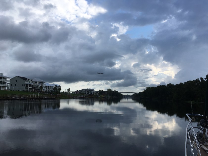 ICW kitsch…
 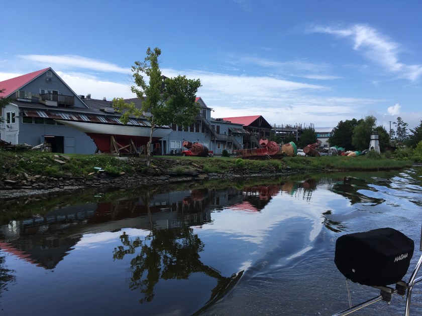 Swing bridges that opened when asked nicely…
  More kitsch…
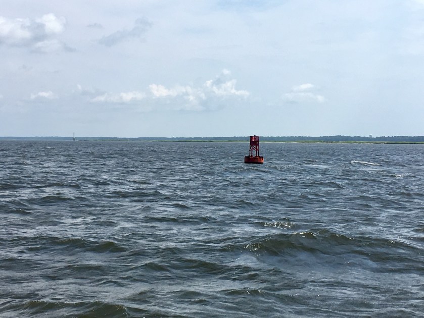
 First channel marker in North Carolina…
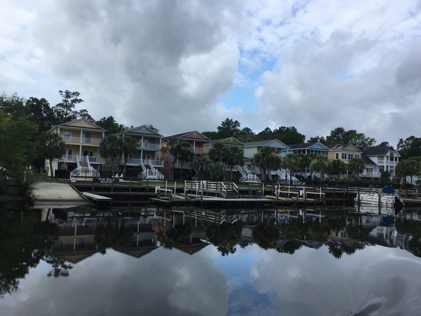
 And we got to see the backside of many beach homes…
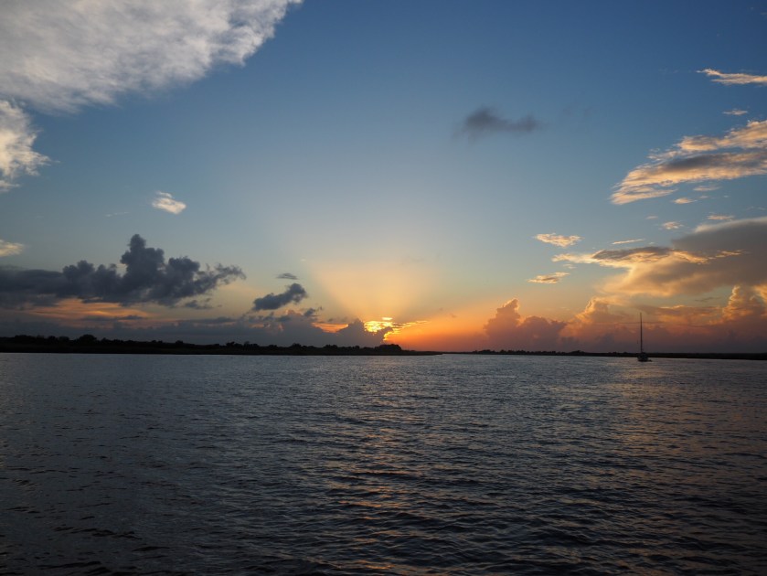
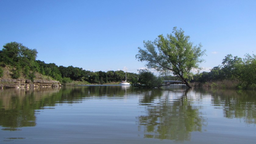
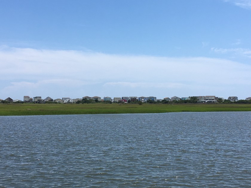 Home for the night…
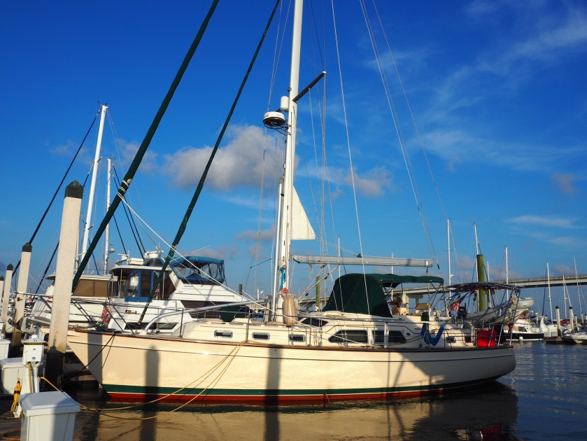
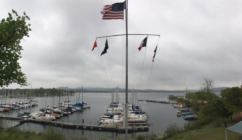