MM135.

Day 9 – 1 bridge. 45 miles.

The view from our anchorage in the South River at sunrise.

We pulled anchor early and crossed the Neuse River, under sail. It was a beautiful morning with no other boat traffic.

Then we had to drop sails to motor through a very straight, but pretty, land cut.  For the most part, today had us mostly crossing wide, open rivers like the Neuse, Pungo, and Pamlico Rivers.

Tonight we are anchored outside of Belhaven, just off the ICW.  Here is another gratuitous sunset photo…

The next link in our ICW journey:  https://sheila365.com/2019/07/18/mm82/

(Note:  If you’d like to read the entire 2-week adventure from the beginning, THIS LINK will take you to the first post in the series.)

Beaufort.

Day 7 – A lay day; provisioning, geocaching, laundry, sightseeing, and a nice dinner out.

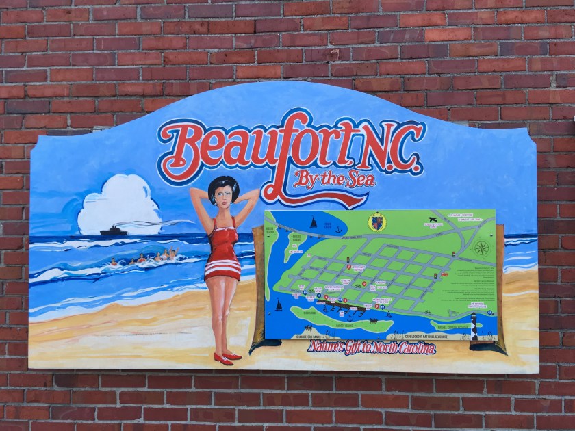
Beaufort (pronounced “bow-furt” not to be confused with “bue-furt” which is in South Carolina) is a quaint seaside town. North of here, the ICW changes from a narrow ditch to more challenging, open waters of the Neuse River, Pamlico Sound, and Albemarle Sound. We’re hoping to put the sails up at some point this week. But today we’re just hanging around the town.

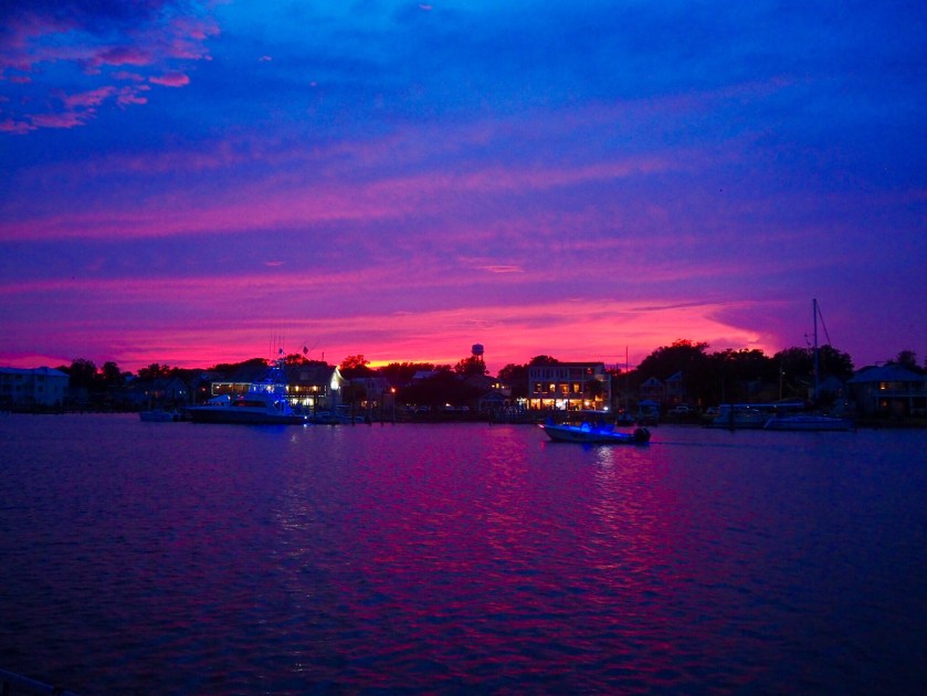
Sunrise at the waterfront boardwalk…

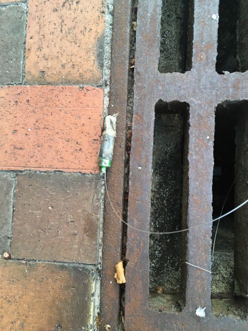
One of two geocaches logged. Sneaky, eh?

We used the marina’s courtesy car and drove to the grocery store for supplies. Then we toured the North Carolina Maritime History Museum.

Pirates were a real thing here 300 years ago. Blackbeard started pirating in 1716. In 1717, he captured a French ship and turned it into his flagship, renaming her Queen Anne’s Revenge. A year later it ran aground in Beaufort Inlet. He died in late 1718. Pirating is hard! The wreck of Queen Anne’s Revenge wasn’t found again until 1996, only a couple of miles from where we are right now.

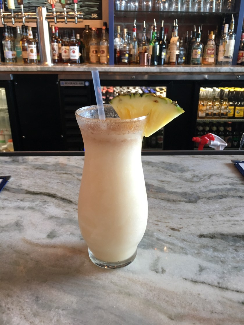
After the museum, we enjoyed some fine libations and dropped a few Benjamins at the local shops.

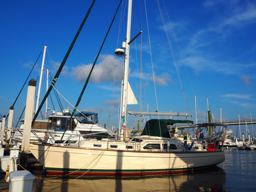
We made friends with Freddy and Alvin, our dock-neighbors on the 100+’ sloop S/V Miniskirt. They are experienced crew and it was nice to meet them. She’s a beautiful boat.

img_8606-2

The next post in our ICW journey:  https://sheila365.com/2019/07/16/mm180/

(Note:  If you’d like to read the entire 2-week adventure from the beginning, THIS LINK will take you to the first post in the series.)

MM229.

Day 5 – 5 bridges. 56 miles. The new thing today was having to time our arrival at bridges that only open on the hour, or on the hour and half hour.

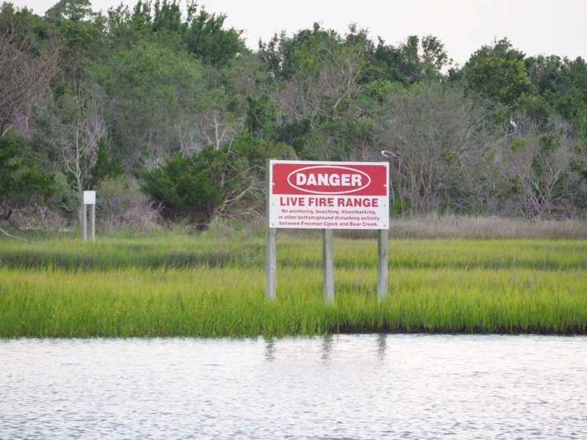
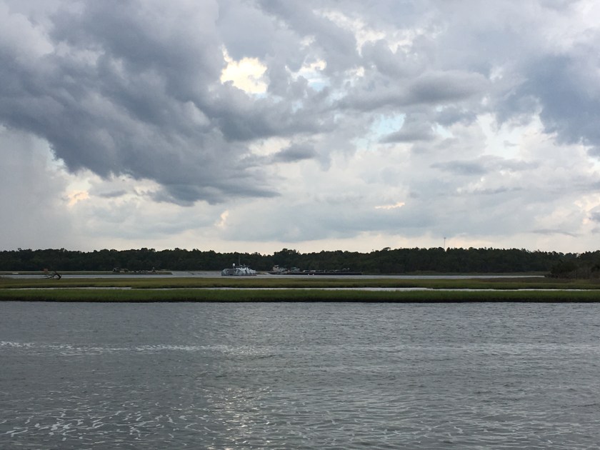
We had to dodge some hellacious thunder and lightning storms by doing circles for a bit. The currents seemed to be fickle today. There are so many inlets to and from the Atlantic that one minute we’ll have the tide with us.  But then we cross an inlet, and the current turns against us. Where inlets and rivers cross the ICW, sand builds up into shallow shoals, some are quite large and stick up above the surface of the water.  We passed this one where the locals had erected a flag, a palm tree, and a parking meter with a cleat on the side for boats to tie up. 🙂

The ICW in these parts flows right past the United States Marine Corps’ Camp LeJeune. The ICW is sometimes closed here for hours due to live ammunition fire exercises.

Target practice…

There were no live-fire exercises today, thankfully.  We had originally planned to anchor right off the ICW here for the night. But, we had to abandon that plan due to the anchorage being closed for military exercises. We saw a space-age amphibious vehicle enter right in front of us.

I wonder what they would have done if we pulled in there to anchor.  🙂

So we continued 15 miles farther north than we’d planned to be today, and are now at a lovely anchorage at the town of Swansboro. We grilled kebabs, watched a wedding reception on the waterfront, watched our boat swing until the currents changed 3 hours after high tide, and took in another lovely sunset.

The next post in our ICW journey:  https://sheila365.com/2019/07/14/mm202/

(Note:  If you’d like to read the entire 2-week adventure from the beginning, THIS LINK will take you to the first post in the series.)

MM285.

Day 4 – 2 bridges. 30 miles. We got off the dock easily this morning and headed on our way by 9AM. Every stretch of the ICW has been a little different each day. Today took us through the Cape Fear River. We had the tide against us for a couple hours and it was slow going through mostly sea-like conditions in the wide and deep shipping lanes.

We then turned back up into the ICW. Lori found a website where the Corps of Engineers posts images of current depth soundings all along the ICW, which provide the latest status on shoals and problem areas. We referred to that along the way. So we knew we were in for a couple of very low stretches today. We actually bumped bottom once today! The red and orange marks in the middle of the screenshot below indicate only 4 to 5-foot depths at mean-low-tide stretching across the entire width of the ICW channel.  We draw 5 feet.  AND we were hitting this stretch at low tide.  Exciting!

We pulled into Wrightsville just in time to get hit by our first thunderstorm/deluge as we were anchoring. Not bad. I’ll take it.

We grilled on the boat and rocked out until sunset. It was another lovely night.

The next post in our ICW journey:  https://sheila365.com/2019/07/13/mm229/

(Note:  If you’d like to read the entire 2-week adventure from the beginning, THIS LINK will take you to the first post in the series.)

MM315.

Day 3 – 17 bridges (yes, 17). 58 miles. Today brought us across the South Carolina border into North Carolina.

Captain Lori picked the departure time perfectly, which isn’t easy with currents being different all along the ICW and worrying about vertical clearance under bridges, and the depth of the water along the way, given that the tide changes water depths in this area by 4 to 6-feet.

Again, we lucked out and were not hit by the storms around us. Today’s challenges were long stretches where the current was against us, which slows us down, and navigating the areas of the ICW that cross river inlets to the Atlantic Ocean. The coast guard temporarily moves the channel markers to safely navigate changing shoals in these areas. Oh, and there was that one jackhole in a fishing boat who nearly ran into us from behind at high speed as he wasn’t paying attention. Luckily he looked up at the last minute and we only got water from his boat spray in the cockpit.

We started the day running up the ICW behind Myrtle Beach. Lots of homes and boat traffic.

Civilization, bridges, and traffic from the air and from the sea…
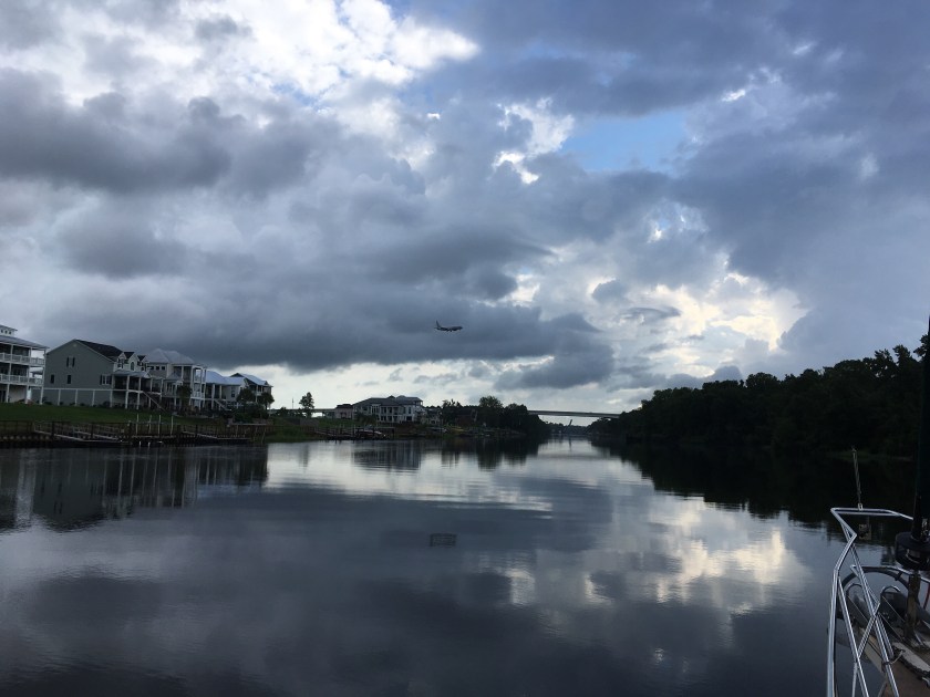
 ICW kitsch… 
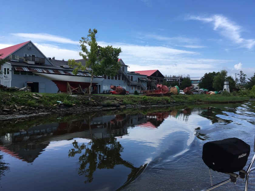
Swing bridges that opened when asked nicely… More kitsch…
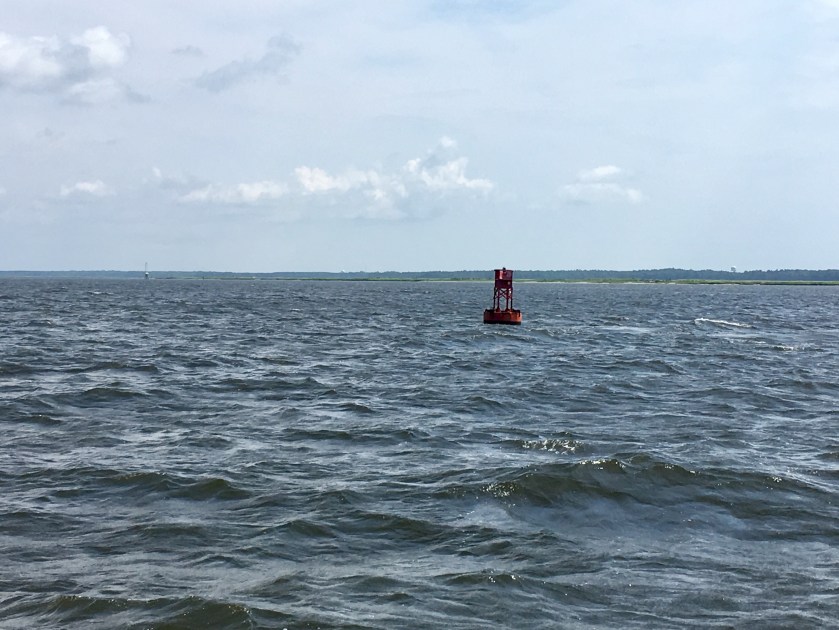
First channel marker in North Carolina…

It turned beachy at Shallote’s Inlet. If you look closely you can see the surf breaking on the Atlantic side… 
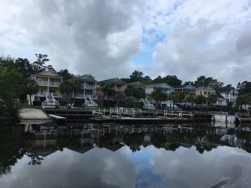
And we got to see the backside of many beach homes…
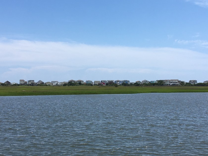
Home for the night…

The next post in our ICW journey:  https://sheila365.com/2019/07/12/mm285/

(Note:  If you’d like to read the entire 2-week adventure from the beginning, THIS LINK will take you to the first post in the series.)

MM472.

I have arrived in Charleston to help Lori bring Trident up to Norfolk. We plan to take the Atlantic Intracoastal Waterway, which winds its way through coastal marshes and towns, through countless bridges and locks, crazy strong currents and tidal flows, and some very shallow and narrow water passages. We hope to make 40-50 miles a day. Norfolk is at MM 0.

We had time for a short visit to the historic downtown last night, then drove to Sullivan’s Island for a delicious send-ourselves-off dinner.

The boat, a 45′ Island Packet 445…

The marina @ St. Johns Yacht Harbor…

Shadowy oaks in the Battery…

Crossing the Ravenel Bridge over the Cooper River, by car, the easy way.  🙂

The next post on our ICW journey:  https://sheila365.com/2019/07/09/mm420/

Fun in the sun.

We enjoyed floating and fishing with Lori and Mike and four of his grandkids today on Nirvana, anchored in our favorite cove on Lake Travis. It was a fun time. The kids were great, and they caught 4 fish between them!

We checked out Brick Oven’s Jazz night for dinner. The patio was full, though, so we had to sit inside.

Another good day!

Nice.

It was a good day on the lake. No wind. But lots of sun, it almost reached 100 degrees. Lake water temps are perfect right now, 83 degrees. We floated all day to beat the heat. Air conditioning at the slip sure helps, too.

Family time.

I enjoyed my extended weekend in Seattle. The wedding was the reason for the visit, but we used it as an excuse for multiple family gatherings. Noreen and David hosted rehearsal dinner on Friday, a post-wedding-reception evening party on Saturday, and a backyard BBQ with yard games on Sunday. They allowed for good visits with all my siblings, nieces and nephews, and a grand-nephew in one place – a first in a very long time.

The weather gods didn’t smile on the outdoor wedding, as it rained all afternoon. But, it was a truly lovely service and reception. God bless Neil and Miranda’s marriage. ❤️

When Memorial Day finally came along, we drove up to Paradise on Mount Rainier. It has been over 40 years since I last visited the park. We hiked a bit up the mountain, in the snow, and took in the views. It wasn’t a crystal clear, blue sky day, but it was majestic, nonetheless.

Mount Rainier National Park lodge at Longmire…

Just a pretty little waterfall…

And a prettier, bigger waterfall…

The view from the hike above Paradise, at about 6000’…

Now, I’m on my way back home. My flight flew past the north face of Mount Saint Helens. You can see the blast damage to the cone on this side of the volcano from its 1980 eruption. 

Mountain peek.

I flew to Seattle for my nephew’s wedding this weekend. I was looking forward to the stunning fly-by of Mount Rainier, but the clouds were high and thick and did not afford the usual view. I snapped a picture as we flew over the 14410′ high peak at about 17000′. Can you spot the top of the peak?

Bikes and birds.

This is the weekend of the MS-150 bike ride from Houston to Austin. I served as sherpa again with Doray and drove Laura and her friend Patty to Houston on Friday night.

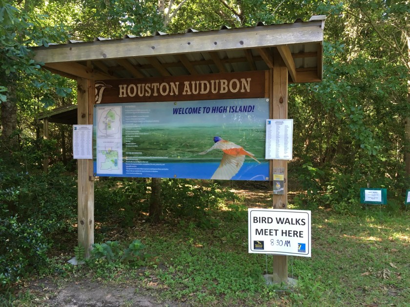
This morning we helped her get to the start and then we drove east, instead of west, so we could do some birding on the coast.

We had a great day, logging over 80 species, and turned in at the hotel late and a tad tired. Tomorrow is another day!

Egg hunt.

I hid some chocolate eggs around the house again this Easter. Last time I did this, it took Monte several months before he found all of them! Hee hee hee 🙂 💙🐰🍫🥚

Play ball!

We went to the ballpark tonight to watch the Round Rock Express play baseball; they are the Triple-A minor league club for the Houston Astros. It was a good game! We won, too.

The Budweiser Clydesdales were there, too. It was a treat to see them up close.

Racing in the rain.

This was the weekend of the Governor’s Cup Regatta on Lake Travis – a two-day set of races for all classes of sailboats, including Sunfish, J-boats, centerboards, and PHRF-handicapped multi-hulls and monohulls. We showed up early at Austin Yacht Club on Saturday morning; overcast, foggy and with storms in the forecast. Our class had five Catalina 30s registered. It would have been a fun weekend of racing.

But instead of racing, we sat through lightning-laced back-to-back postponements until all races were eventually abandoned for the day at 1PM.  In the picture above you can just barely see the red & white striped AP flag ()  flying on the far right halyard of the flag pole – indicating that we were operating under a postponement at the time.

The same thing happened on Day 2, yesterday, except the N over A flags (https://i0.wp.com/www.sarasotabayyachting.org/images/N-A.gif),  indicating abandonement of all races for the regatta, were hoisted before 9AM.

It would have been nice to race, but I’ll take the rain!  The picture above is a shot of the low clouds and rain over Arkansas Bend on Saturday.  Even if there had been no rain, there was no wind.