Home on La Grange. 

Since day 1 of the MS-150 was called off, we had a leisurely morning in Houston.  Day 2 will start in La Grange at the courthouse, and our riders’ team arranged a place for them to overnight at a beautiful ranch outside of town.  

We spent the afternoon exploring the historic downtown. 

La Grange is the county seat of Fayette County.   Texas has some of the grandest old county courthouses.   The one in La Grange is a good example.  


After lunch at Orsak’s Cafe and bluebell ice cream at Latte on the Square we headed to the ranch to drop off riders and bikes.   What an amazing spread.  


I spied a purple martin house by the pond.   


Heavenly views.

Yesterday I returned home from several weeks in Seattle.   I had my nose glued to the window, as usual.  It is so easy to take for granted that we have the luxury of being able to view our planet from the vantage point of the angels.

A front was moving in from the east, bringing a late dump of snow in the Cascades.  This is a shot of it moving in over Southcenter, looking east.

IMG_7939

The cloud deck must have been about 15000 ft.  Mount Rainier was buried in clouds. Can you find it?  This shot is looking east, flying south.  If you look closely in the bottom left of the frame,  you can see another jet flying below us.IMG_7948

Then we turned east, flying below Mount Rainier.   Little Tahoma peak stuck its head out, right of the summit.IMG_7955The mighty Columbia River brings life to eastern Washington.  Irrigation circles dot the landscape near Paterson.IMG_7962Cotton ball clouds somewhere over Texas.IMG_7973

Back on the ground.  Glad to be home.

Embracing the No.

I’m gonna give it a whirl – saying “no,” I mean.  Not to everything.   Just to a few well chosen requests made of me.   See how it goes.   If I turn out to be really good at it, there may be no stopping me!  🙂

No reason for this shot across Hood Canal as the sun heads for the horizon other than that it is calm and serene.   That’s what I’m going for.

IMG_7912

See the forest.

Another shot from yesterday’s walk through the woods.   I found myself literally surrounded by trees as far as my eye could see — much like I feel with my todo lists from work and home.   It was a reminder to try to keep the big picture in perspective, and not get hung up on the little things.

IMG_7910

Home.

Found today on a walk through the woods.

“May you always have walls for the winds, a roof for the rain, tea beside the fire, laughter to cheer you, those you love near you,
 and all your heart might desire.” — Irish blessing

IMG_7919

Spring at the homestead.  

Monte brought home these lovely yellow tulips yesterday.  So, Spring arrived early for us.  They are so pretty!


Ides of March. 

We enjoyed a beautiful night on the lake.  I came home early today to get some Work things done before tomorrow.   Boooo!

The calendar says we are midway through March already.  The late freezes haven’t killed everything though.   The bluebonnet patch out back is coming along.  


Only one more week of winter !

Happy Pi Day!

We headed to the lake today.  A lovely sail and then anchored out with Kurt & Kevin on Dancer.  

Sunset:


Dessert  (pie, get it?):


A hill (and a thrill) with a view.

IMG_7681

One of many familiar images of Austin is of the Pennybacker Bridge at Loop 360, overlooking a stretch of beautiful Lake Austin.   The 360 Loop drive and its Hill Country views are one of my favorite parts of Austin.  I crossed off one of my must-do’s by hiking up the cliff overlooking the bridge to take in the view for myself.   In the panorama above, you can just see the downtown skyline peeking over the hill on the left of the image.   I’m not afraid of heights, but I have to say my heart skipped a beat or two as I stood on the rock on the edge of the cliff.

For reference (from google streetview):

Screen Shot 2015-01-28 at 3.42.57 PM

I think I like this shot better.  It’s taken from a vantage point slightly farther west, down the trail along the top of the cliff.

IMG_7688

Just another gorgeous day in my little corner of paradise.

Sunpocolypse.

I know that my friends in the Northeast have been hit by a snowstorm today.  But what a BEAUTIFUL day here in Austin!  The Butler hike and bike trail around Town Lake (oops, i mean Ladybird Lake) is always a nice destination, with loops of varying distances depending on which bridges you choose.  Last year the boardwalk on the southeast side of the lake was completed.  I set out today to walk the Mopac / I35 loop.  The Butler Hike and Bike Trail maps say that loop is 6.9 miles, but I must have dilly-dallied, because I logged a bit more.

IMG_7696

It was a simply lovely day.  I leave you with a few pics from my lap:

IMG_7670
Start/finish at Zilker.
IMG_7626
A view from the new Boardwalk.
IMG_7645
Congress Avenue bridge.
IMG_7651
Looking south towards the Zach Theater from the Pfluger bridge.
IMG_7654
A rower making way.
IMG_7664
A peek inside one of the boathouses on the north side of the lake.

I would love to be able to come down here every day.

Land lubbin’.

This weekend has been a glorious January one for the books.   Yesterday we kind of got rat-holed by what should have been a 30 minute project at the house, but it ended up consuming the day.

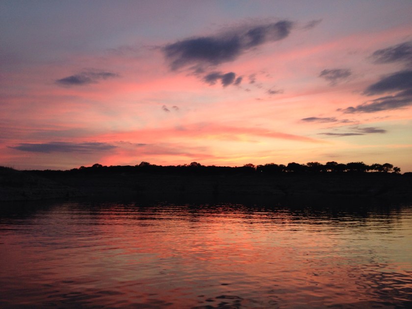
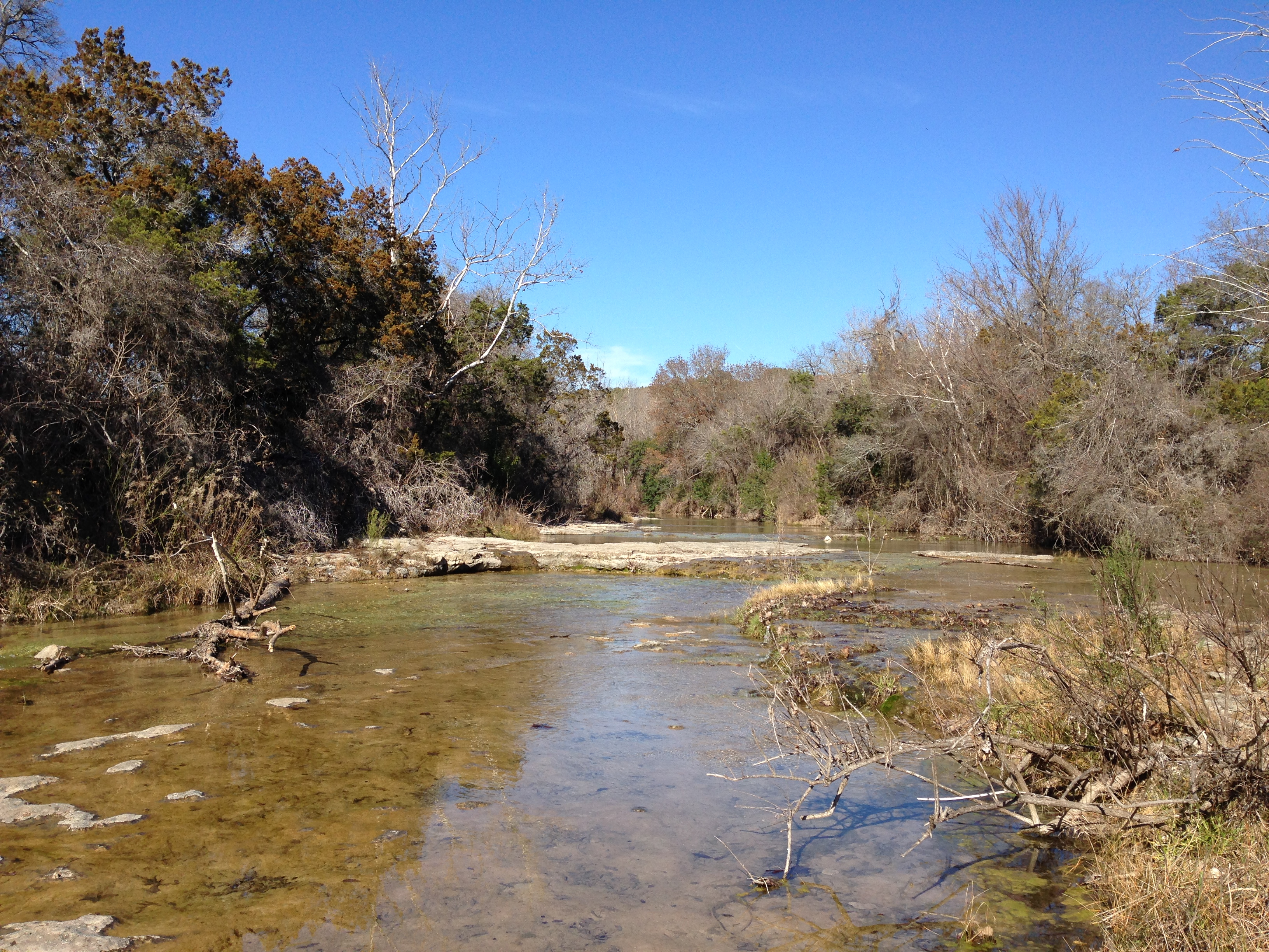
Today, however, i was determined to get outside.   The level of Lake Travis continues to remain woefully low at 624′ above mean sea level.   Happily, though, the rain from last week raised the level about 9 inches.   We just have another 684 inches to go before the lake is full!

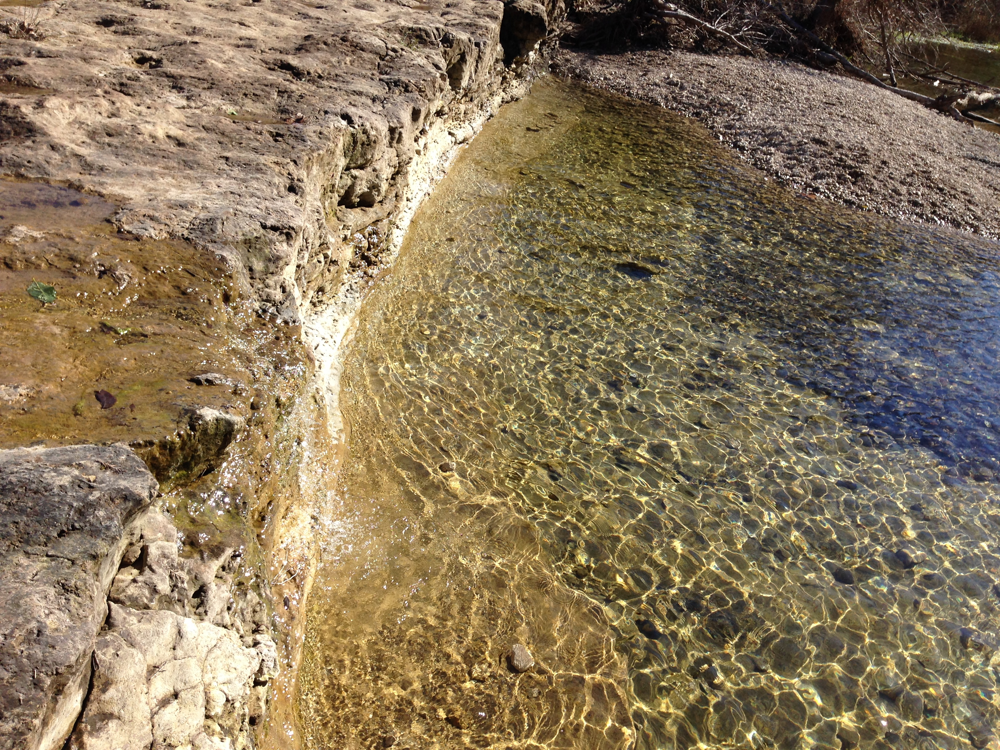
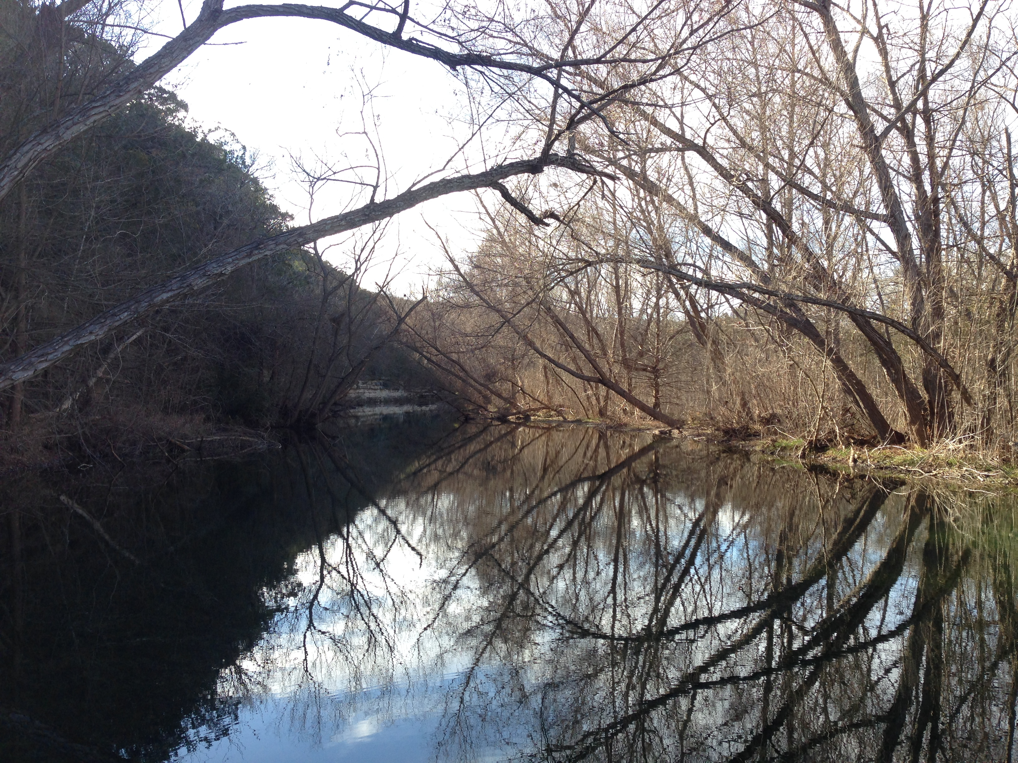
One of the features of the land that surrounded the original river that the drought has uncovered is the piece of land referred to by locals as “Sometimes Islands.”  When the lake basin is flooded, the peaks of this piece of land sometimes stick up; sometimes they are covered by water.  Well, for the last 3 or 4 years, Sometimes Islands has become For-the-Foreseeable-Future Peninsula.

We set out today to walk the length of the peninsula.   So we packed a few snacks for lunch, brought our GPSes, and tossed my Christmas present from Monte – a metal detector – in the trunk for its maiden voyage.

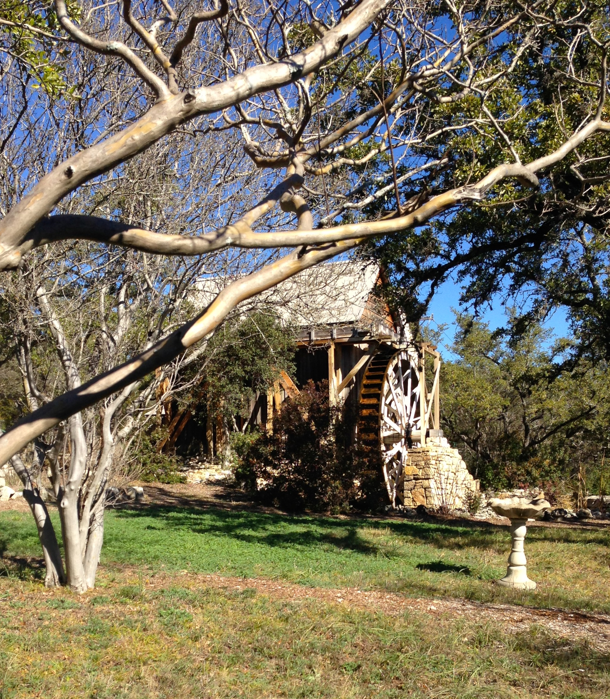
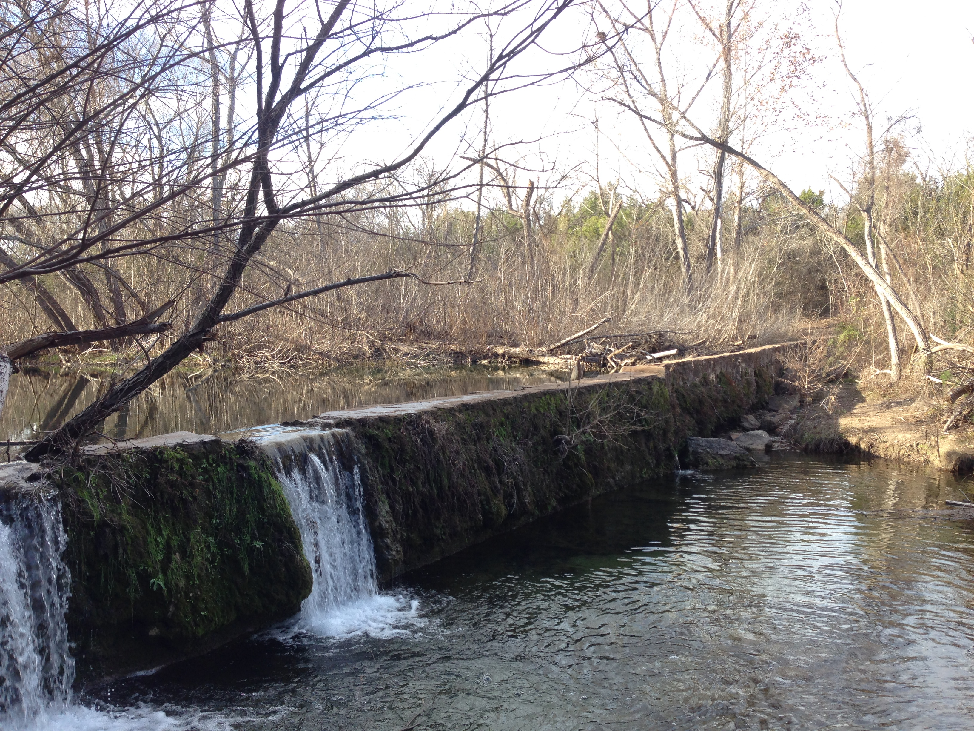
We stopped briefly at the historic site for the original Anderson Mill – the mill that operated near Cypress Creek in the 1800s – a NW Austin neighborhood and road still bear its name.  They have a museum here as well, but it is only open for a few hours on the 4th Sunday of every month between March and October.   We’ll have to come back for the tour.

IMG_7571

Then we headed for Mansfield Dam Park and started our trek.

IMG_7582

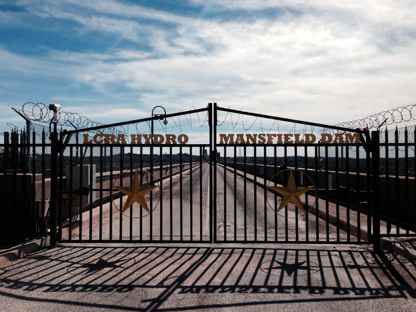
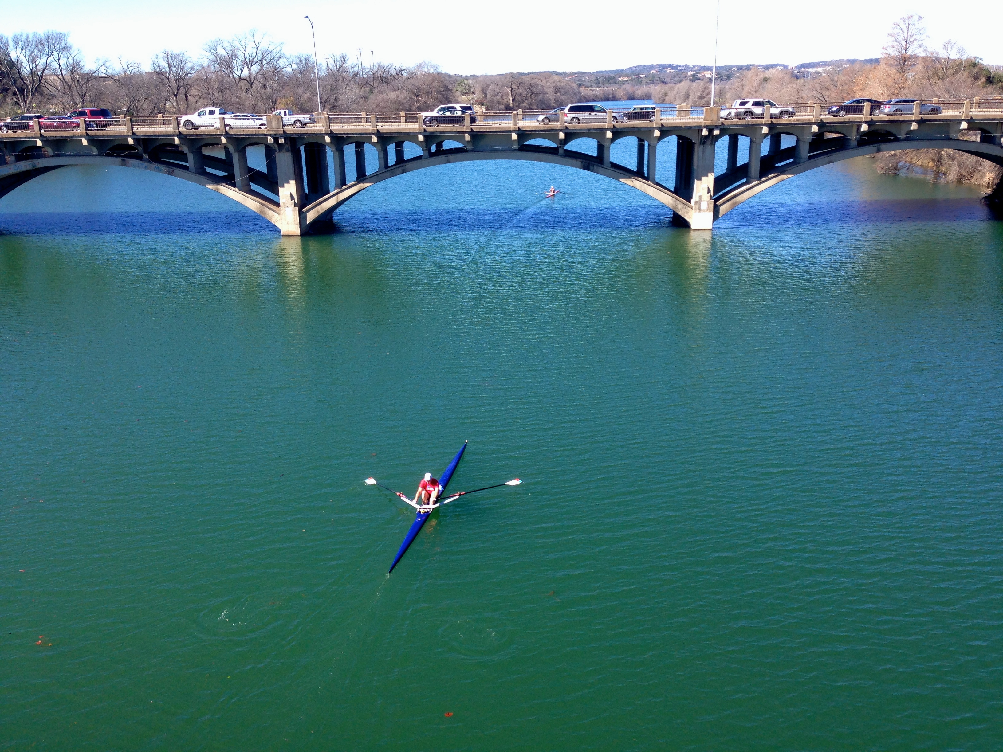
This is the old highway that used to cross over the top of the dam.  It is closed to ordinary folks these days, and Highway 620 is the throroughfare now.  I’d love to get a chance to stroll across the old road now, though.

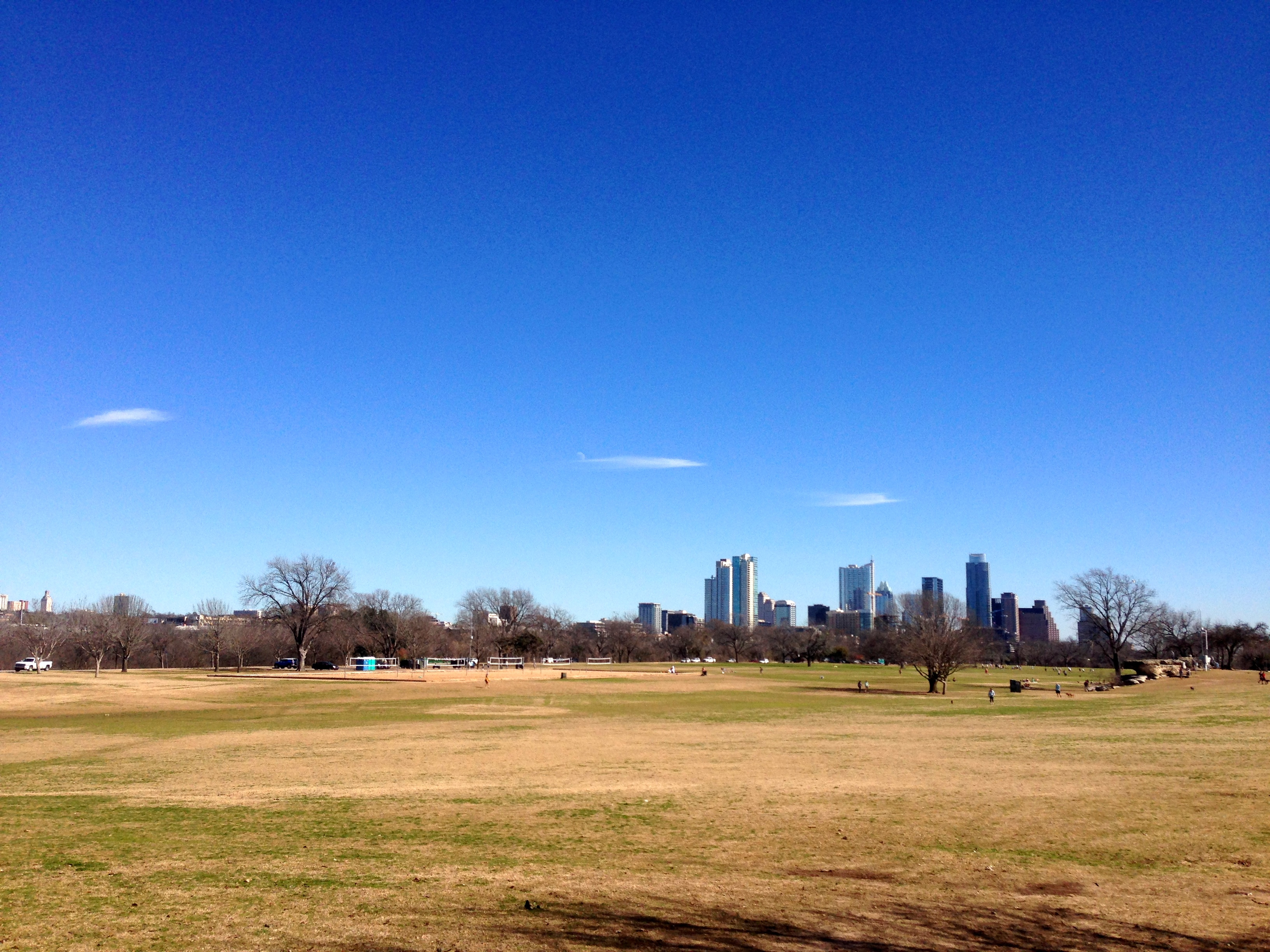
I walked the length of the peninsula – about 2.5 miles out from the park – and found all the geocaches that didn’t require scuba gear.  Monte marked a couple of points on his GPS that will hopefully be boating hazards and/or navigable cuts once again at some time in the future.  This was the view from the park looking out over Sometimes Islands…the structure on the top of the hill in the center of the picture is the Oasis.

IMG_7587We also tried out the metal detector for the first time.  And I have to say:  “Pretty nice!”   We were able to detect and reliably find nearly every piece of metal (aluminum, lead, iron, steel, …) that it sounded on, even if we had to dig 6″ or more to get to it.  I’m looking forward to bringing it along on some of our cove-explorations when the weather gets warmer.  No treasure this time.   But it was fun.

IMG_7603

I go back to work a week from tomorrow.  This weekend was a nice adventure.  I’m hoping to squeeze in few more next week.

Bull Creek flowing.

I took another trip to St Edwards Park the other day to explore some of the trails I didn’t get to on my last visit.   It was the MLK holiday, and a beautiful January Austin day – and everyone else had the same idea.  The parking lot was PACKED.

It’s nice to see a bit of water in the creek.  It is supposed to rain again tomorrow, thankfully.

IMG_7544
Looking upstream from a point along the red trail north of the park.
IMG_7547
Standing in the middle of the creek bed on dry rocks – not a good place to be after a rain!
IMG_7550
Winter creek-scape looking upstream, taken from the concrete wall/dam on the southside of the park.
IMG_7555
A view of concrete wall/dam taken from the south bank.

I’ll be back.

Worth the view.

Trying not to waste the few remaining days I have before going back to work , I took advantage of a wonderful, sunny day to explore a park that I have not visited before. I checked out St. Edward’s park, on the Bull Creek greenbelt. What a great bunch of trails!

2015/01/img_7480-0.jpg
It was beautiful. I only made it throughout the brown trail, which I found pretty challenging. I’ll definitely be back to explore the trails north of the creek.
Here is a shot looking across the creek over the canyonlands.

2015/01/img_7476.jpg

Tulips of white.

Monte brought home a set of tulips. My favorite, as you probably have learned. These are white and gorgeous.

2015/01/img_7472.jpg
Fyi, Google says January 17 is National Tulip Day in Holland. Go get you some!