We dashed out to Mayfield Park today to see the peacocks and the pretty grounds, found a geocache, and then climbed atop Mount Bonnell to enjoy the view.
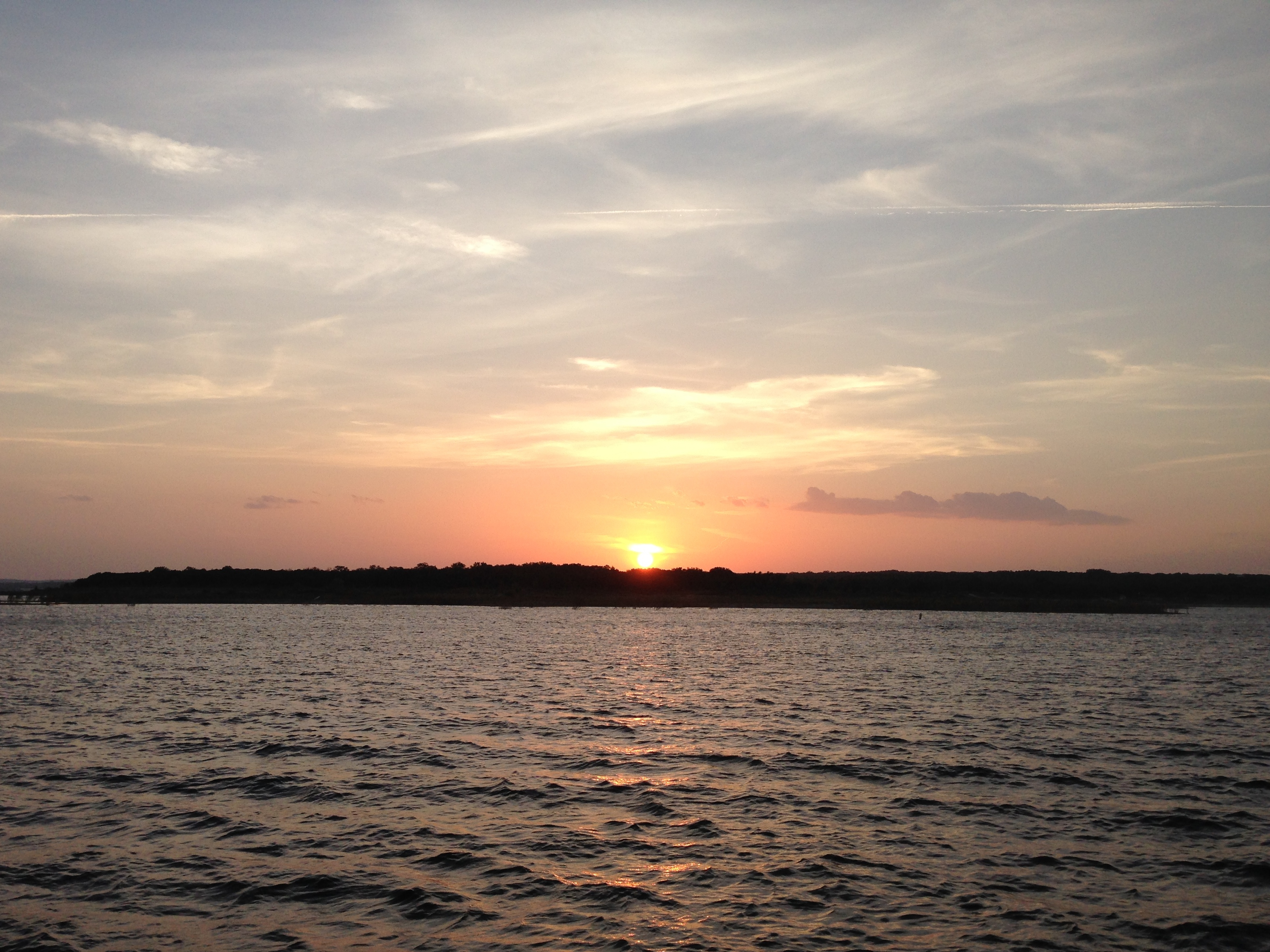
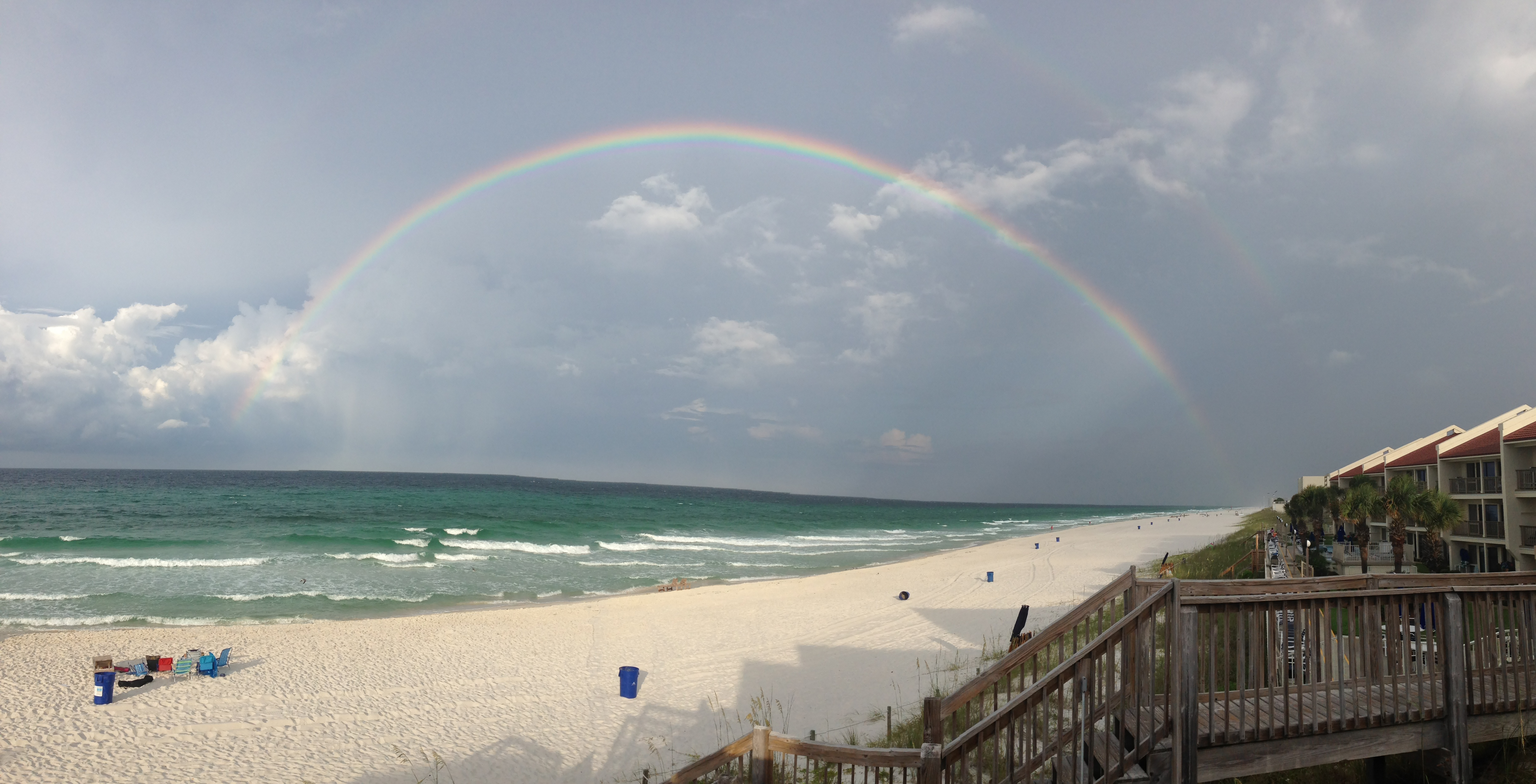
We headed out to the lake yesterday. The rains have FINALLY been falling over the basin that flows into Lake Travis. We have been watching the LCRA lake levels like kids in a candy store. The lake is up to over 648′ today! which is up about 25′ from where it has been stuck for the last few years. We still want more – 30 more feet and brimming would be nice – but boy was it thrilling to see. I actually felt my heart rejoice. 🙂
Our marina has moved half of its dock back to shore. All of the ramps for the letter docks are floating. And one of our boat ramps is usuable again. We went for a sail with Kurt and Kevin. We saw alot of debris in the water. And alot of these….. balls of red ants floating in the lake. Beware folks, you do NOT want to swim into one of these!
We anchored in our cove and spent the afternoon marvelling over how great it was to finally have our lake back. 🙂
Sunday was the 5 year blogoversary for sheila365! I meant to draft a post ahead of time, and post it bright and early on March 8th. But I just looked at the calendar and time has snuck by on me once again.
That’s ok. In these 5 years sheila365 has evolved, and I think I have a bit, too. My blog started as a post-a-day 365 project during the first year or two, which had me snapping photos during the day to make sure I had something that I judged “share-worthy;” and now it has become more of a leisurely, post-every-week-or-so project, which I have to say has been much easier, though less artistic in terms of trying to capture beautiful photos, but rather just moments from my day that struck me as special or interesting in one way or another.
So happy blogoversary to me! 🙂 I thought I’d go back through my posts from year 5 and pick a photo from one post from each month that especially makes me smile. I have to say it was very hard to pick just one picutre from each month.
March 2014: Old San Juan, Puerto Rico. A visit to the walled El Morro. Beautiful Caribbean views.
April 2014: British Virgin Islands sailing trip – this was taken while snorkeling off Cooper Island.
Turtle dude surfacing – 2
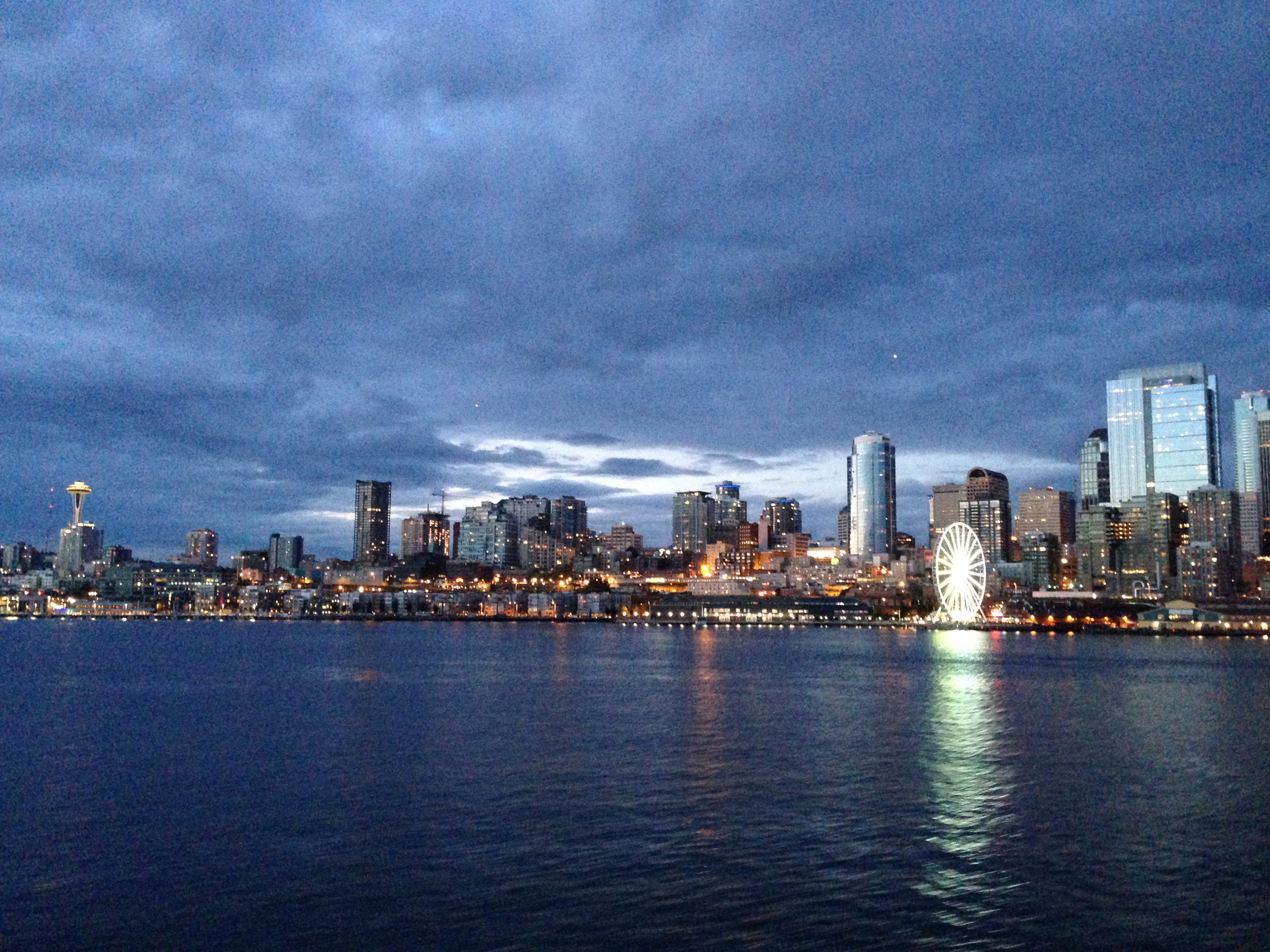
May 2014 – A trip home to Seattle. One of several last year. It is a beautiful, special place for me.
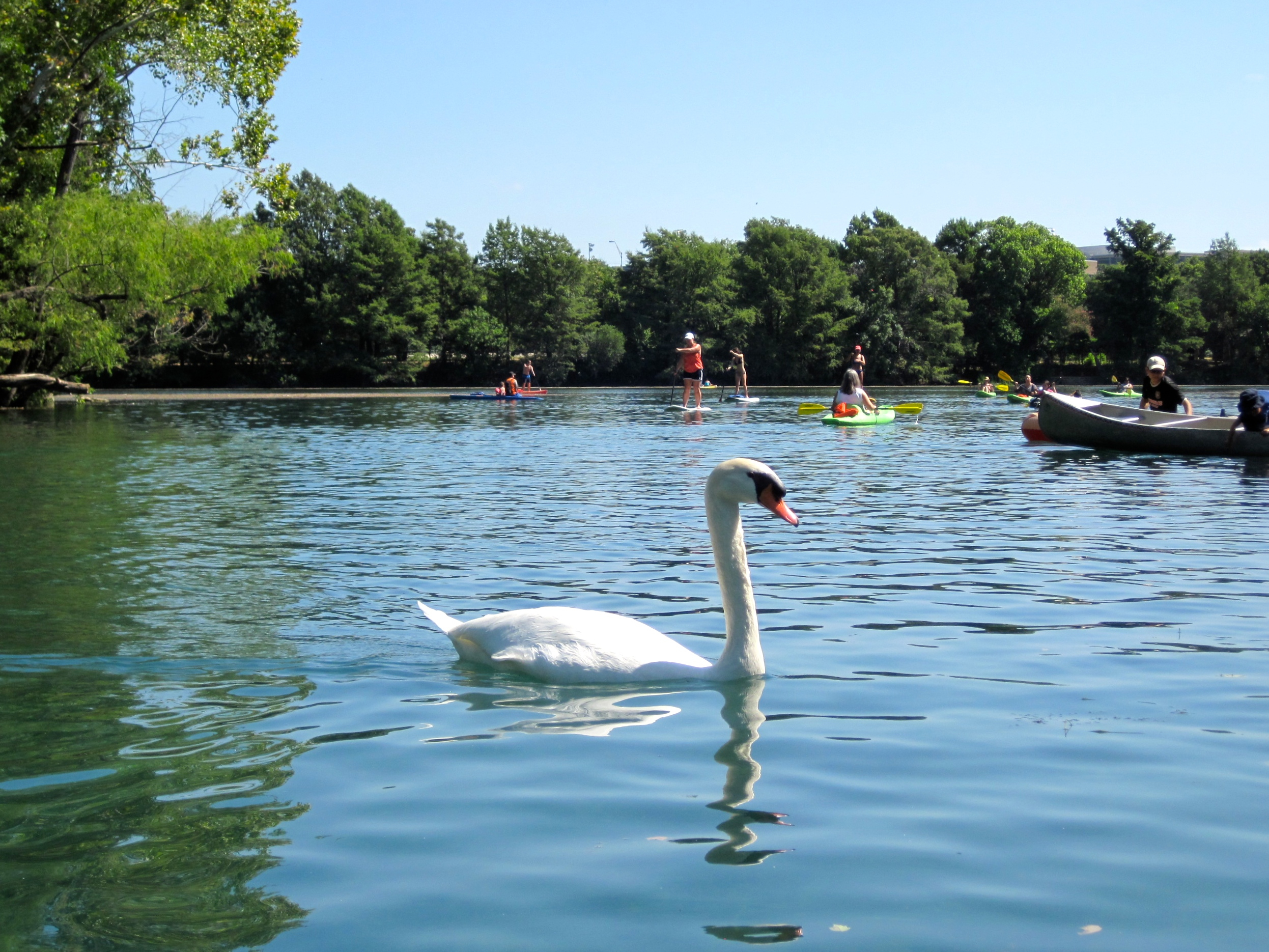
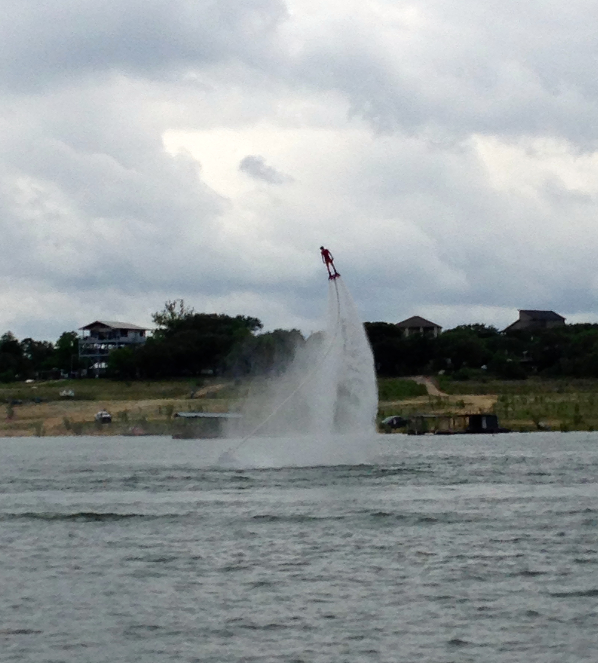
June 2014 – Back in Austin for fun on the lake with some of my crazy sailor friends.
July 2014 – An amazing trip to Panama City Beach to celebrate a very special anniversary with a very special family.
August 2014 – A roadtrip to the Texas Gulf Coast. One of my favorite places to relax.
September 2014 – A lovely anniversary trip through the Texas Wine Country.
October 2014 – A fun girls’ trip to Washington, D.C. Lots of laughs, lots of wine, and lots of walking. 🙂
The residential streets are lined with historic townhouses.
November 2014 – An oh so special birthday.
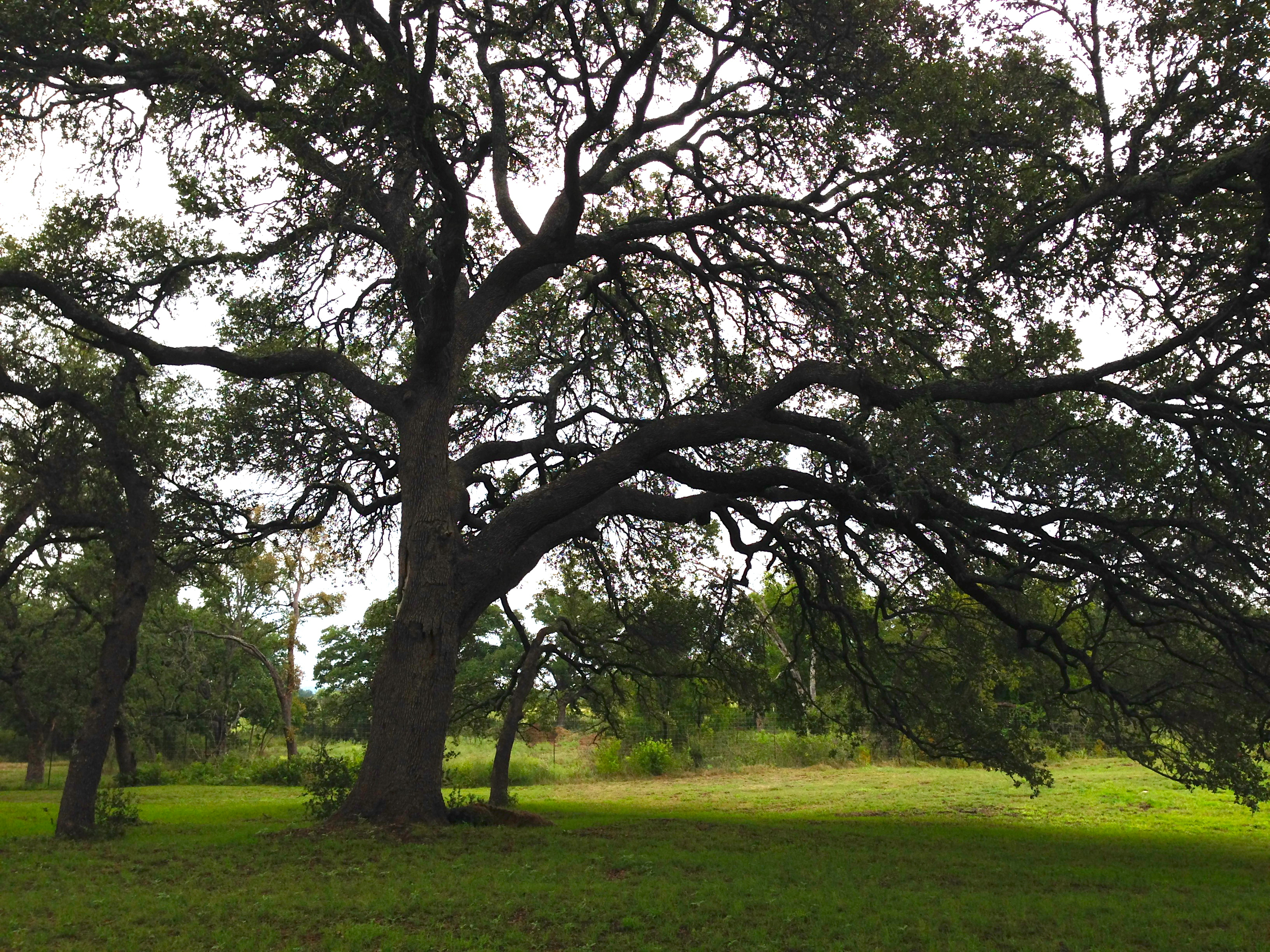
December 2014 – Family visiting means showing off Austin and the Hill Country. Never gets old.
January 2015 – Hiking as many trails as I can before I had to go back to work after taking a few months off.
March marks the beginning of one of the best times of the year! Sunny, spring days are right around the corner. Although today we are still toughing out the chilly, misty weather. Cabin fever is setting in. Today we headed down to Zilker Park to see the 86th annual Austin Kite Festival. Not your typical turnout, and only the slightest hint of wind – but it was still nice to take in, and all the kids there were having a blast.
The downtown skyline was shrouded in low clouds.
Afterwards we headed to the Texas State History Museum – free admission on the first Sunday of the month. And tomorrow is Texas Independence Day, so it was fitting we popped in.
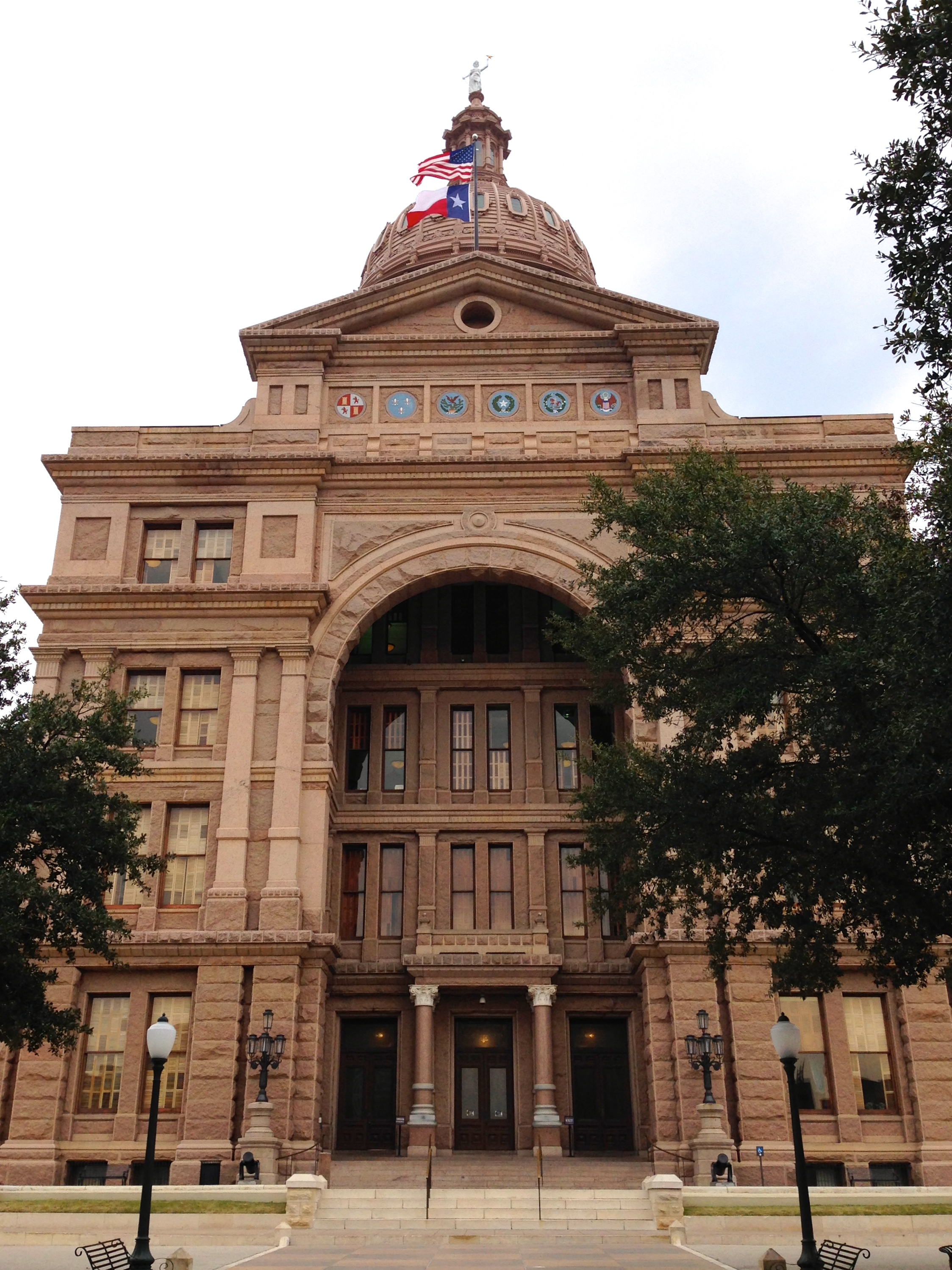
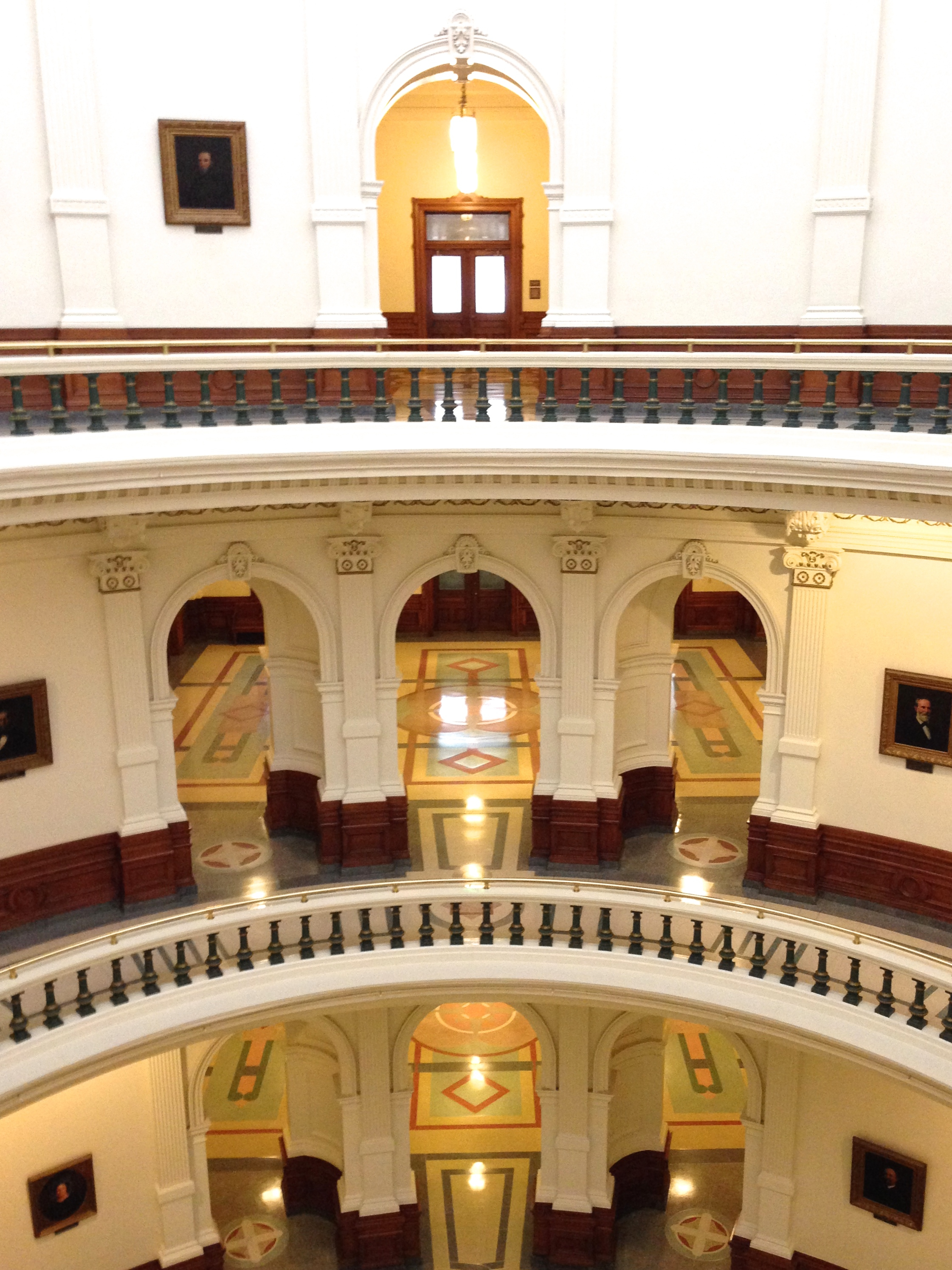
I was clicking through photos I’ve taken over the last few months. I found a couple from a visit to the Texas State Capitol in December, when we had visitors from out of town. It’s a beautiful building – inside and out. If you get an opportunity to visit, you can take a free guided tour, or this self-guided tour might be more your thing.
As a noun, capital refers to (1) a city that serves as a center of government, (2) wealth in the form of money or property, and (3) a capital letter. As an adjective, it means (1) principal, (2) involving financial assets, and (3) deserving of the death penalty. There are other definitions of capital, but these are the most commonly used ones.
Capitol has two very specific definitions (outside ancient Rome): (1) a U.S. state legislature building, and (2) the U.S. Capitol building in Washington, D.C. State capitols are located in the capital cities of U.S. states, and the Capitol is located in the capital city of the U.S. If you’re not talking about any of these capitol buildings, then the word you want is probably capital.
The Capitol building located in Washington, D.C. is spelled with a capital C, but state capitol buildings ordinarily don’t have the capital C (which is not to say that some writers don’t capitalize them anyway).
And now, a few of the shots I took. The nouth entrance:
One of many familiar images of Austin is of the Pennybacker Bridge at Loop 360, overlooking a stretch of beautiful Lake Austin. The 360 Loop drive and its Hill Country views are one of my favorite parts of Austin. I crossed off one of my must-do’s by hiking up the cliff overlooking the bridge to take in the view for myself. In the panorama above, you can just see the downtown skyline peeking over the hill on the left of the image. I’m not afraid of heights, but I have to say my heart skipped a beat or two as I stood on the rock on the edge of the cliff.
For reference (from google streetview):
I think I like this shot better. It’s taken from a vantage point slightly farther west, down the trail along the top of the cliff.
Just another gorgeous day in my little corner of paradise.
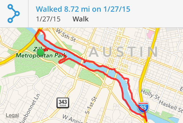
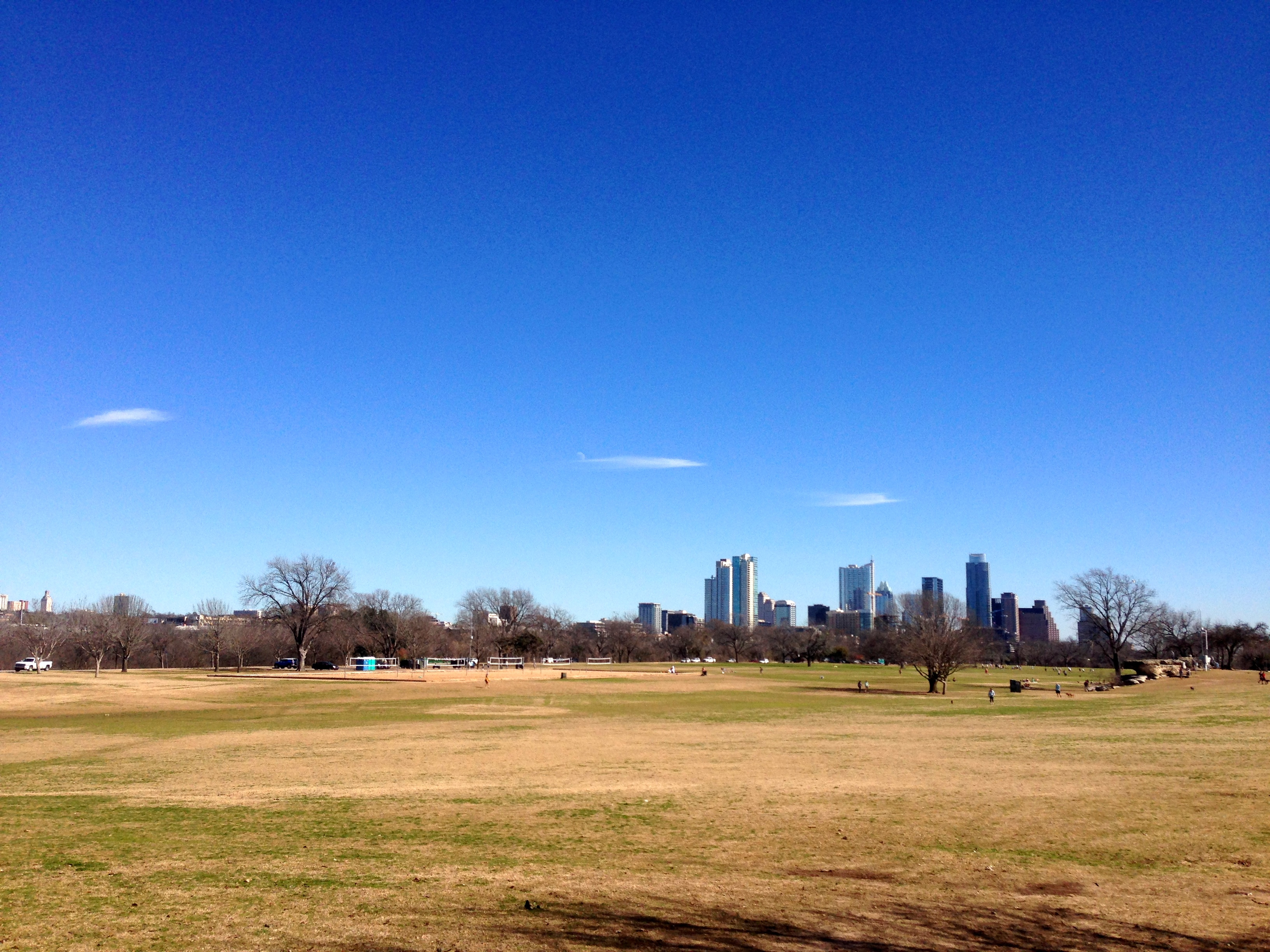
I know that my friends in the Northeast have been hit by a snowstorm today. But what a BEAUTIFUL day here in Austin! The Butler hike and bike trail around Town Lake (oops, i mean Ladybird Lake) is always a nice destination, with loops of varying distances depending on which bridges you choose. Last year the boardwalk on the southeast side of the lake was completed. I set out today to walk the Mopac / I35 loop. The Butler Hike and Bike Trail maps say that loop is 6.9 miles, but I must have dilly-dallied, because I logged a bit more.
It was a simply lovely day. I leave you with a few pics from my lap:
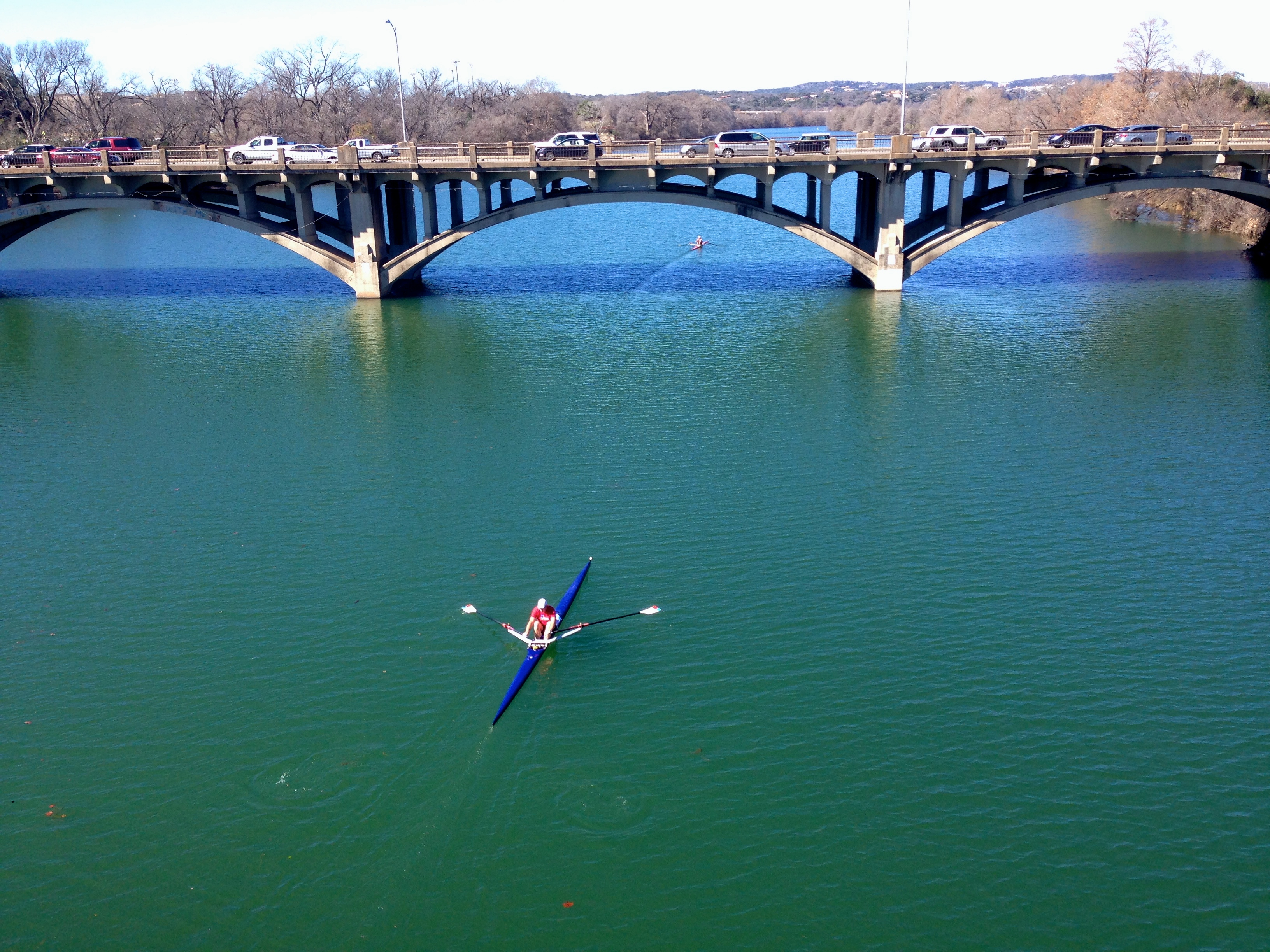
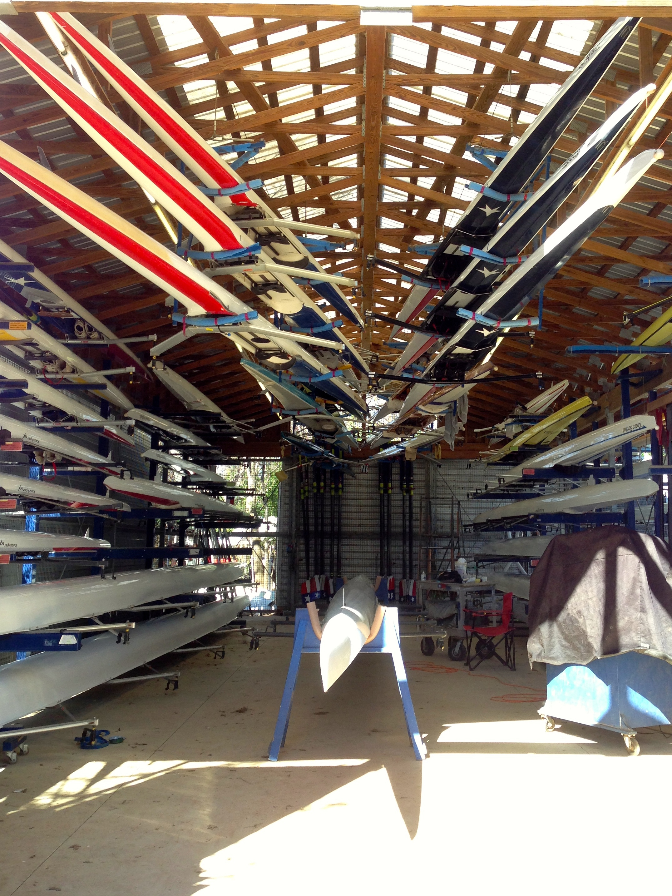
Start/finish at Zilker.A view from the new Boardwalk.Congress Avenue bridge.Looking south towards the Zach Theater from the Pfluger bridge.A rower making way.A peek inside one of the boathouses on the north side of the lake.
I would love to be able to come down here every day.
This weekend has been a glorious January one for the books. Yesterday we kind of got rat-holed by what should have been a 30 minute project at the house, but it ended up consuming the day.
Today, however, i was determined to get outside. The level of Lake Travis continues to remain woefully low at 624′ above mean sea level. Happily, though, the rain from last week raised the level about 9 inches. We just have another 684 inches to go before the lake is full!
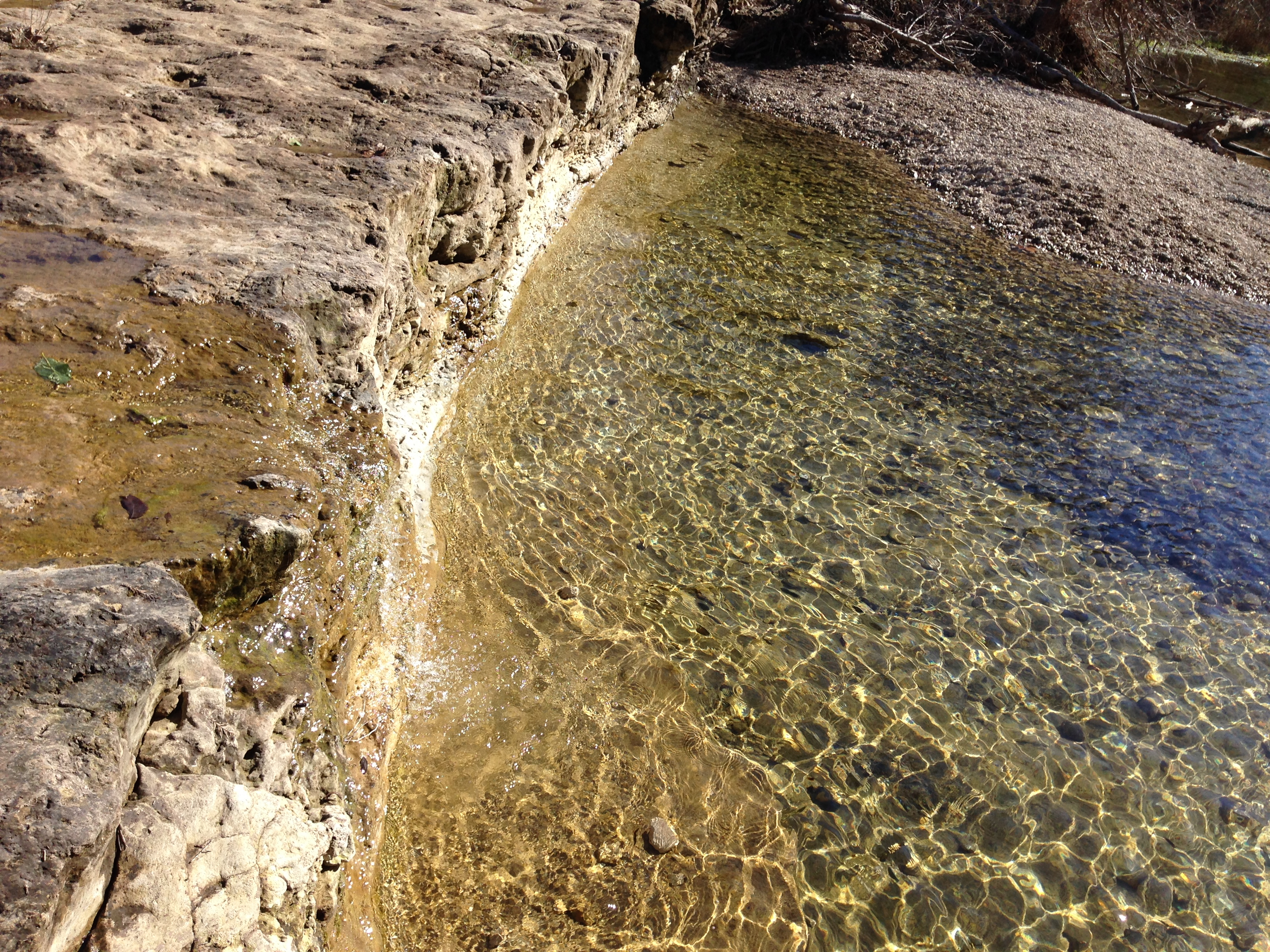
One of the features of the land that surrounded the original river that the drought has uncovered is the piece of land referred to by locals as “Sometimes Islands.” When the lake basin is flooded, the peaks of this piece of land sometimes stick up; sometimes they are covered by water. Well, for the last 3 or 4 years, Sometimes Islands has become For-the-Foreseeable-Future Peninsula.
We set out today to walk the length of the peninsula. So we packed a few snacks for lunch, brought our GPSes, and tossed my Christmas present from Monte – a metal detector – in the trunk for its maiden voyage.
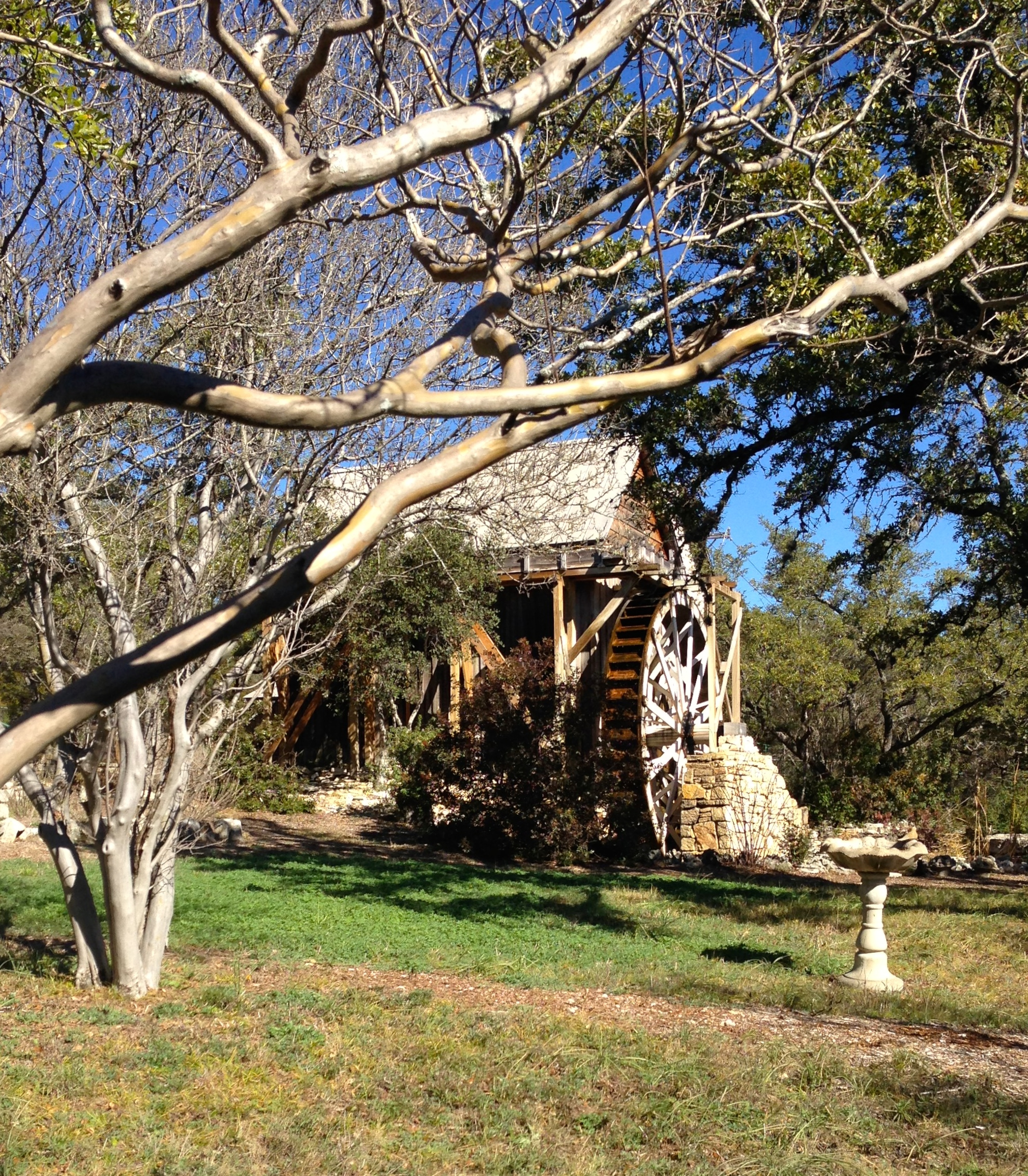
We stopped briefly at the historic site for the original Anderson Mill – the mill that operated near Cypress Creek in the 1800s – a NW Austin neighborhood and road still bear its name. They have a museum here as well, but it is only open for a few hours on the 4th Sunday of every month between March and October. We’ll have to come back for the tour.
This is the old highway that used to cross over the top of the dam. It is closed to ordinary folks these days, and Highway 620 is the throroughfare now. I’d love to get a chance to stroll across the old road now, though.
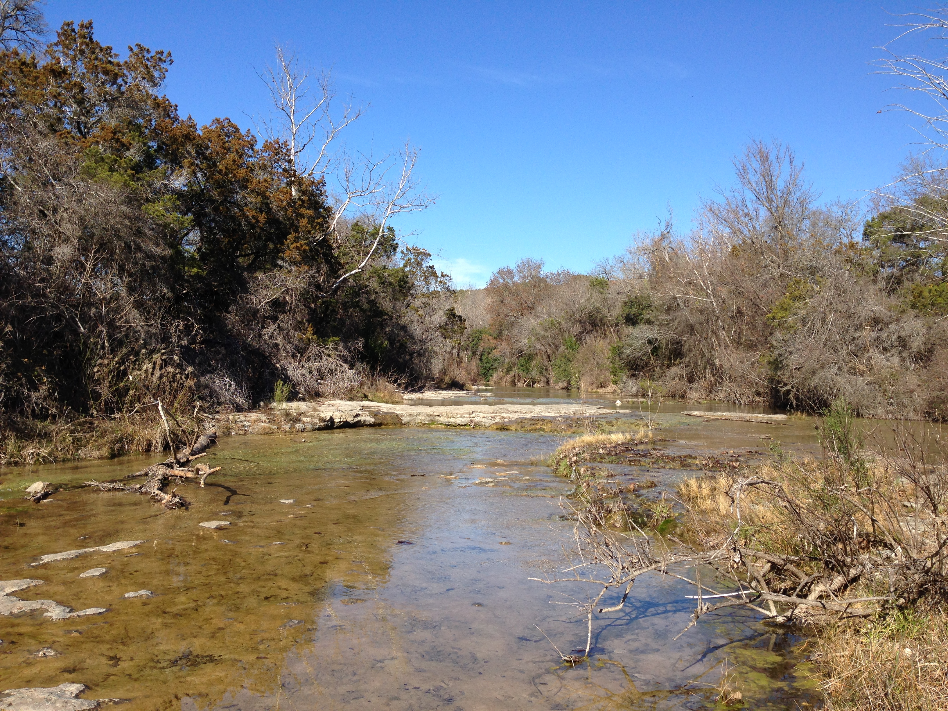
I walked the length of the peninsula – about 2.5 miles out from the park – and found all the geocaches that didn’t require scuba gear. Monte marked a couple of points on his GPS that will hopefully be boating hazards and/or navigable cuts once again at some time in the future. This was the view from the park looking out over Sometimes Islands…the structure on the top of the hill in the center of the picture is the Oasis.
We also tried out the metal detector for the first time. And I have to say: “Pretty nice!” We were able to detect and reliably find nearly every piece of metal (aluminum, lead, iron, steel, …) that it sounded on, even if we had to dig 6″ or more to get to it. I’m looking forward to bringing it along on some of our cove-explorations when the weather gets warmer. No treasure this time. But it was fun.
I go back to work a week from tomorrow. This weekend was a nice adventure. I’m hoping to squeeze in few more next week.
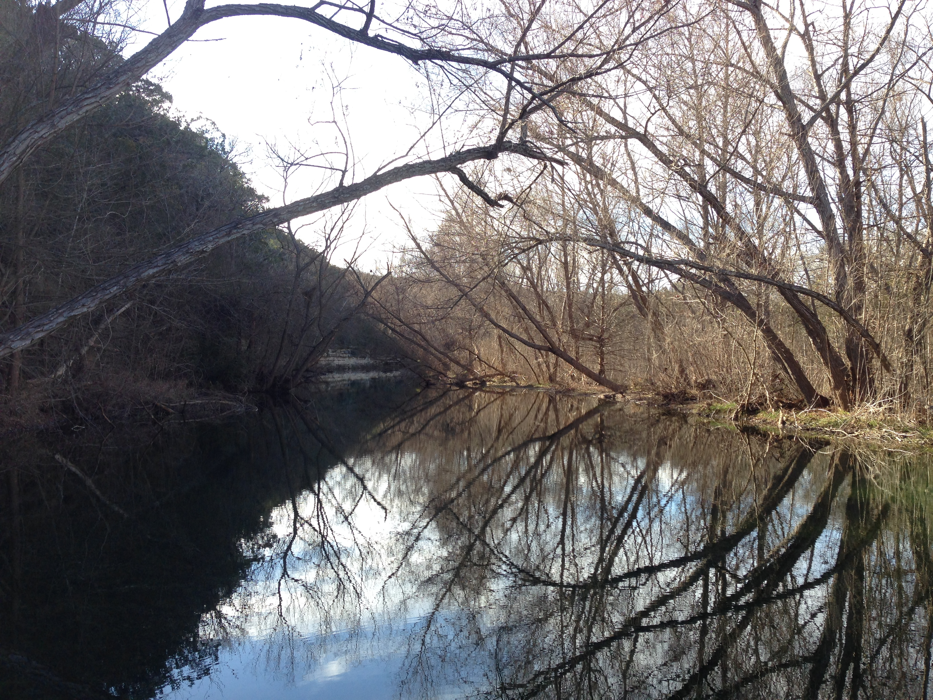
I took another trip to St Edwards Park the other day to explore some of the trails I didn’t get to on my last visit. It was the MLK holiday, and a beautiful January Austin day – and everyone else had the same idea. The parking lot was PACKED.
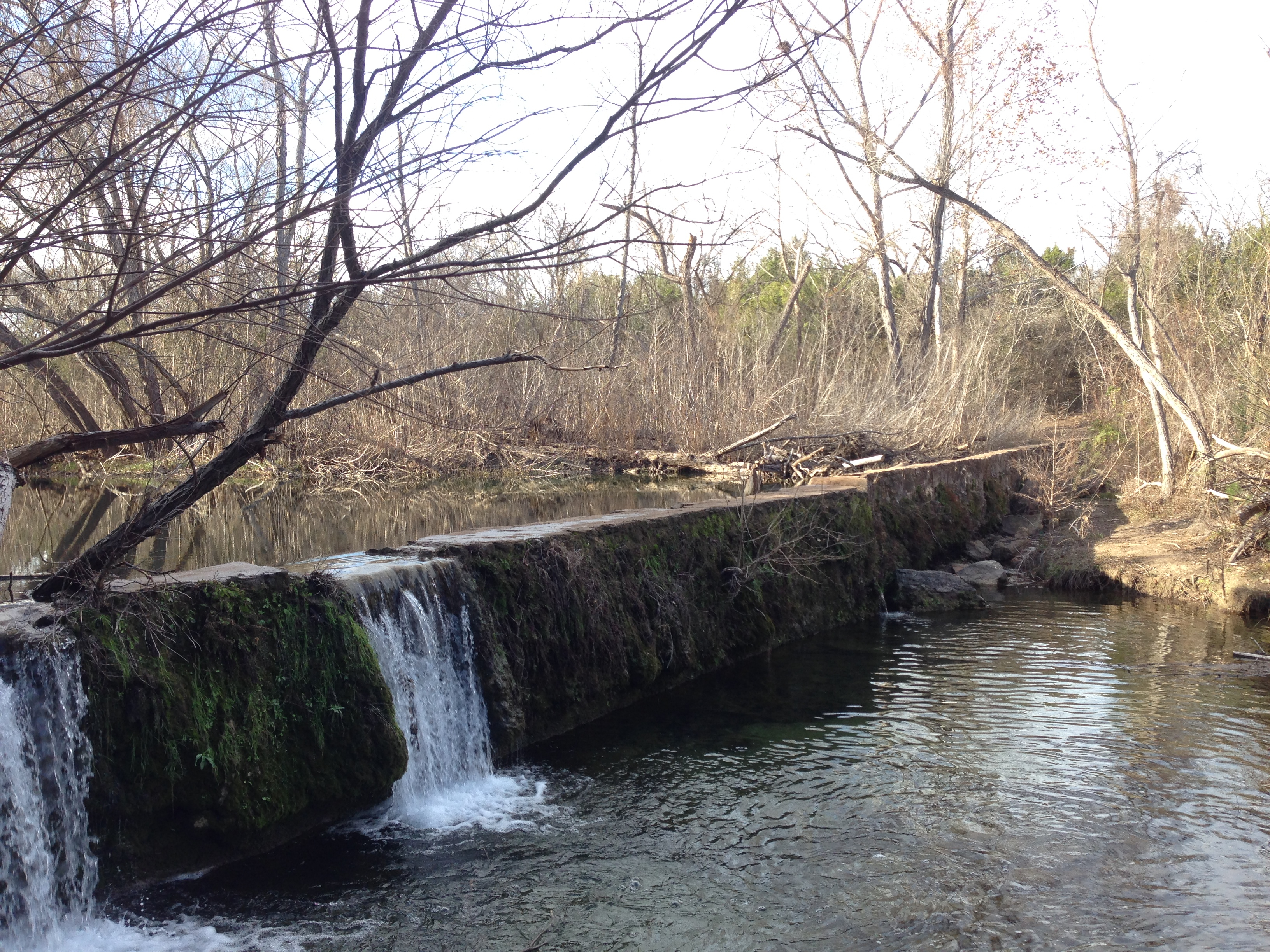
It’s nice to see a bit of water in the creek. It is supposed to rain again tomorrow, thankfully.
Looking upstream from a point along the red trail north of the park.Standing in the middle of the creek bed on dry rocks – not a good place to be after a rain!Winter creek-scape looking upstream, taken from the concrete wall/dam on the southside of the park.A view of concrete wall/dam taken from the south bank.
Trying not to waste the few remaining days I have before going back to work , I took advantage of a wonderful, sunny day to explore a park that I have not visited before. I checked out St. Edward’s park, on the Bull Creek greenbelt. What a great bunch of trails!
It was beautiful. I only made it throughout the brown trail, which I found pretty challenging. I’ll definitely be back to explore the trails north of the creek.
Here is a shot looking across the creek over the canyonlands.
The Texas state history museum offers free admission to all exhibits the first Sunday of every month. Today we headed downtown and met Laura to see 2 new exhibits: Fly Girls of WWII, and the 300+ year old shipwreck of La Belle. Both worth the trip.
Afterwards, we hit happy hour at Clark’s. Half-price off all bottles of wine! Oh and the food is good, too. 🙂
I’m headed home today, after a nice, long visit in the Pacific Northwest. I’ll share a few of the sights I took in along the way…
Roadsters on the way to the airport:
On the plane I chose a starboard window seat, expecting the normal fly by with Mount Rainier on my right. It turns out we flew south of Mount Rainier, so instead I had a view of its neighboring Cascade peaks Mount Adams (in the foreground) and Mount Hood (beyond and to the left).
The Columbia River gorge, with the Miller Island to the left, where the Deschutes River joins the Columbia, and beyond it, the Dalles, and then Mt Hood in the distance.
It rained a bit while I’ve been gone, and I could see the 630.5′ high Lake Travis through the steamy haze.
We flew over my neighborhood, and I got a shot of our house! Funny.
And Big Blue’s Austin offices… quickly being swallowed up by the Domain and other new development. Looks like noone works weekends anymore.


 the (blurryish) soco view towards downtown…
  A reflection of the Frost Bank Tower on the building next door…
  Happy Birthday, Laura!


