The reason Monte and I were in NYC was to board the Queen Mary 2 for a week-long transatlantic cruise to Southampton, in the UK. Over the years, we had always pooh-poohed the idea of taking a cruise, being little boat sailors. But we really had a great time.
This’ll be a long post, so for the TL;DR crowd: if you’re on the fence about going on a cruise on the Queen Mary 2, you should just do it. 🙂
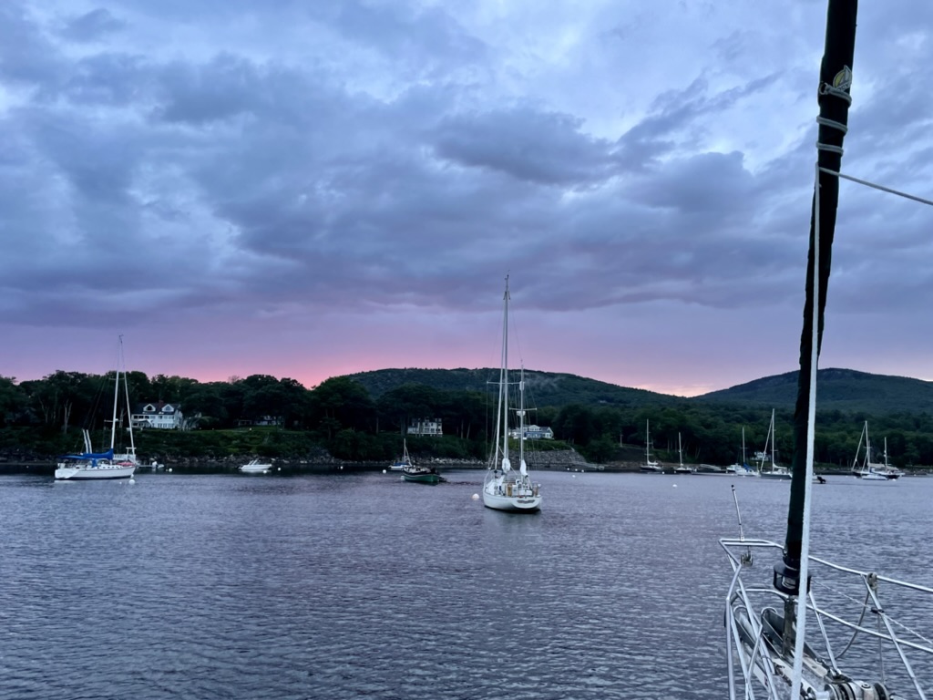
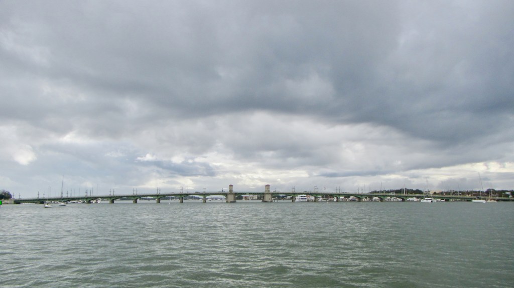
We boarded Pier 12 at the Brooklyn Cruise Ship Terminal, an easy walk from our hotel in Red Hook. The weather was brisk, but it was bright and sunny most days.

The Queen Mary 2 (QM2) is a Cunard ocean liner. One of the many things I’ve learned over the last week or two is that an ocean liner is different than a cruise ship in many ways; most importantly, their speed, hull strength for long ocean passages, and stability. These ocean liners have hydraulic stabilizers below the water line that attempt to counteract the ship’s roll, pitch, and yaw. I believe we averaged 21 knots on our eastbound crossing, and this was in what a sailboat would consider very challenging conditions (4-6 meter seas and 25-40 knot winds), but the Queen Mary 2 made it along very comfortably.

Launched in 2003, the QM2 is a beautiful ship inside and out. And the Cunard standard of service is legendary. This was our first ever cruise, so we did a little research prior to leaving. They suggest dressing in “smart attire” for dinner, and have two gala nights where gowns and black tie is encouraged. We somehow found a way to pack for that in our carry-on sized roll aboards. And it was fun.
The sail away celebration above-decks was festive and we got great views of NYC as we left at 5 pm.


We chose a balcony-cabin and loved it. I booked one midships on the starboard side, so we would not be exposed to the fall north winds, and to be able to see the sunrise most mornings on our northeasterly heading.

Deck 5 was very quiet. I know this crossing was probably fully booked, but we heard no one and nothing except the ocean when the door to the balcony was open. They have bigger suites, but ours worked out perfectly for us. Air temps were in the 50s, so it was chilly in late October. Even so, I found myself enjoying our balcony everyday.

We crawled all over the ship each day and I think we found and spent time in just about all the public spaces – some were harder to find than others, but all so lovely.

The cruise departs NYC on a Friday evening, and arrives in Southampton the following Friday morning. I wondered how well I’d handle all those idle hours on board for a week. But I was not idle in the least. There are loads of activities and entertainment from morning through night everyday: classes, speakers, musical performers, exercise sessions, theatrical and comedy performers, too many to list.

Since we were traveling eastward, for 5 of the days at sea, the ship clock moved forward one hour at noon, so when we arrived in the UK, we’d already be on local time.
The food was delicious and always available. We had the same table for two in the restaurant each night, so we got to know our servers. We met different people every day on board which was also a hoot.
There is a formal afternoon tea every day in the Queen’s Room, which we took part in several times.

We attended some of the various entertainment every evening, but we always ended up in the Chart Room where the Vlad Zinchenko Trio played jazz all night long.

The promenade is on Deck 7, and 3 laps around it make a mile. Even though it was very windy, we made it out there several days to get our steps in. There’s also a great gym aboard that’s much warmer 🙂

I had hoped to take in some star gazing at night but boy was it windy on the top deck at night! I could have been easily blown off if I wasn’t paying attention. I’ll stick to dry land for celestial viewing.
But while up there I walked by the “Queen Mary 2” sign lit up below the smoke stack and was transported back to the night Lori and I left NY Harbor at sunset headed down to Cape May on Trident when I saw this same sign through the binoculars as I tried to read the name of that pretty ship that sailed by us at a distance as it left NY Harbor.

I just went back through my photo archive and found a picture from that very night on Trident, October 7, 2022. I remember telling Monte about it after I got home, and where it was headed, and he said, “we could do that.” And so we did 🙂

While sailing along the US coast from a sailboat, I’ve also seen, through binoculars, pilots boarding tankers while underway before entering a major harbor. So I wanted to try to get a glimpse of the pilot boarding the QM2 outside of the Solent strait before our arrival in Southampton. I got up very early and was fortunate to find they were boarding right below our cabin. I had a front row view. 🙂 What a job they have.

We planned to stay in England for 9 more days after disembarking; more on that later. I made use of the onboard laundry so our suitcases were full of clean clothes again when we arrived.
We had a blast. Until next time, Mary!

Links for the curious:
Cunard’s transatlantic cruise website. You can call them and they will answer any questions you have, before or after you book.
Where to stay the night before departure? We stayed at Lodge Red Hook. Not fancy, but an easy walk to the Cruise Terminal. They also have a nice breakfast included. We flew in the day before, and it made for a stress-free transfer without worrying about unexpected travel delays. The Uber from JFK to the hotel was about $100.
There is also a convenient South Brooklyn-Manhattan foot ferry at the cruise terminal, which we used while we were there. To go to Manhattan, get on at Red Hook towards Corlears Hook. You can purchase tickets from a machine at the dock.
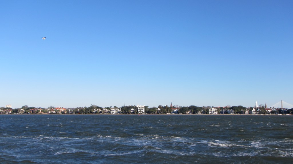
Red Hook visitor info. Red Hook is very walkable, and we found several nice restaurants and wine stores near the hotel.
Pro Tip: You can bring 1 bottle of wine/alcohol per passenger onto the QM2 in your carry-on luggage, so we made sure to pick up a couple of nice bottles in Red Hook before heading to the cruise terminal.


 We left Miami Sunday morning at 3AM, on a course Lori set for West End on Grand Bahama Island, where we clear customs and spend one night before making our way farther east to the Ábacos.
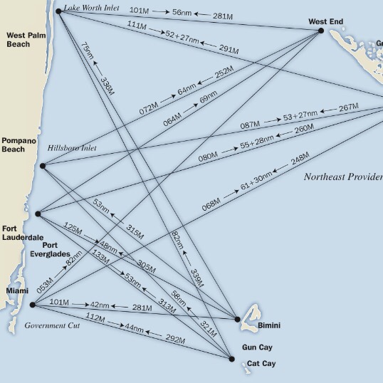
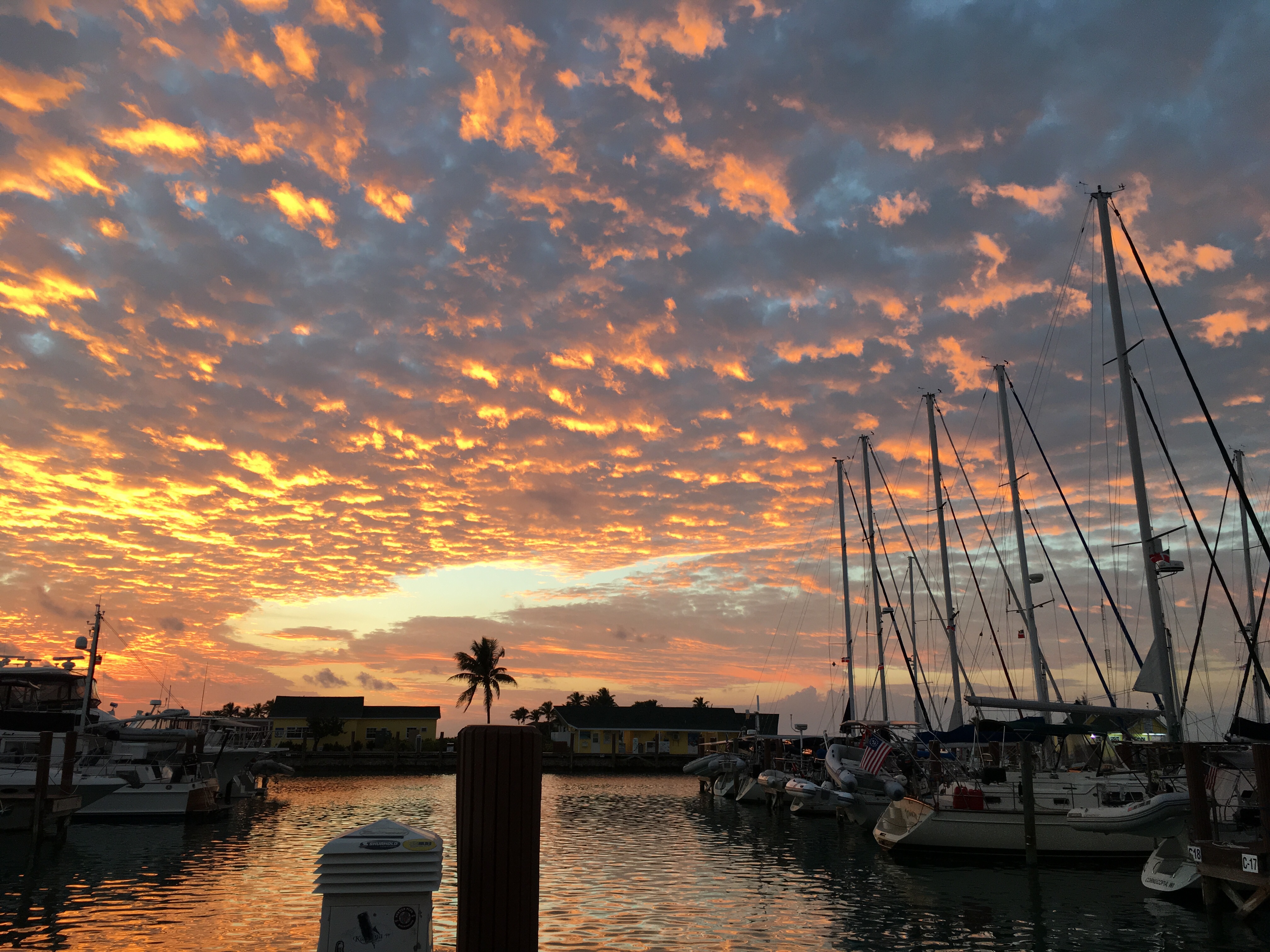
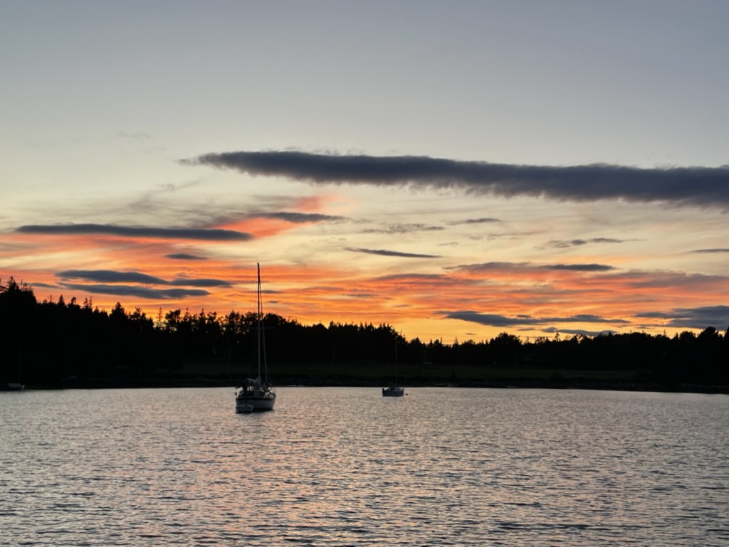
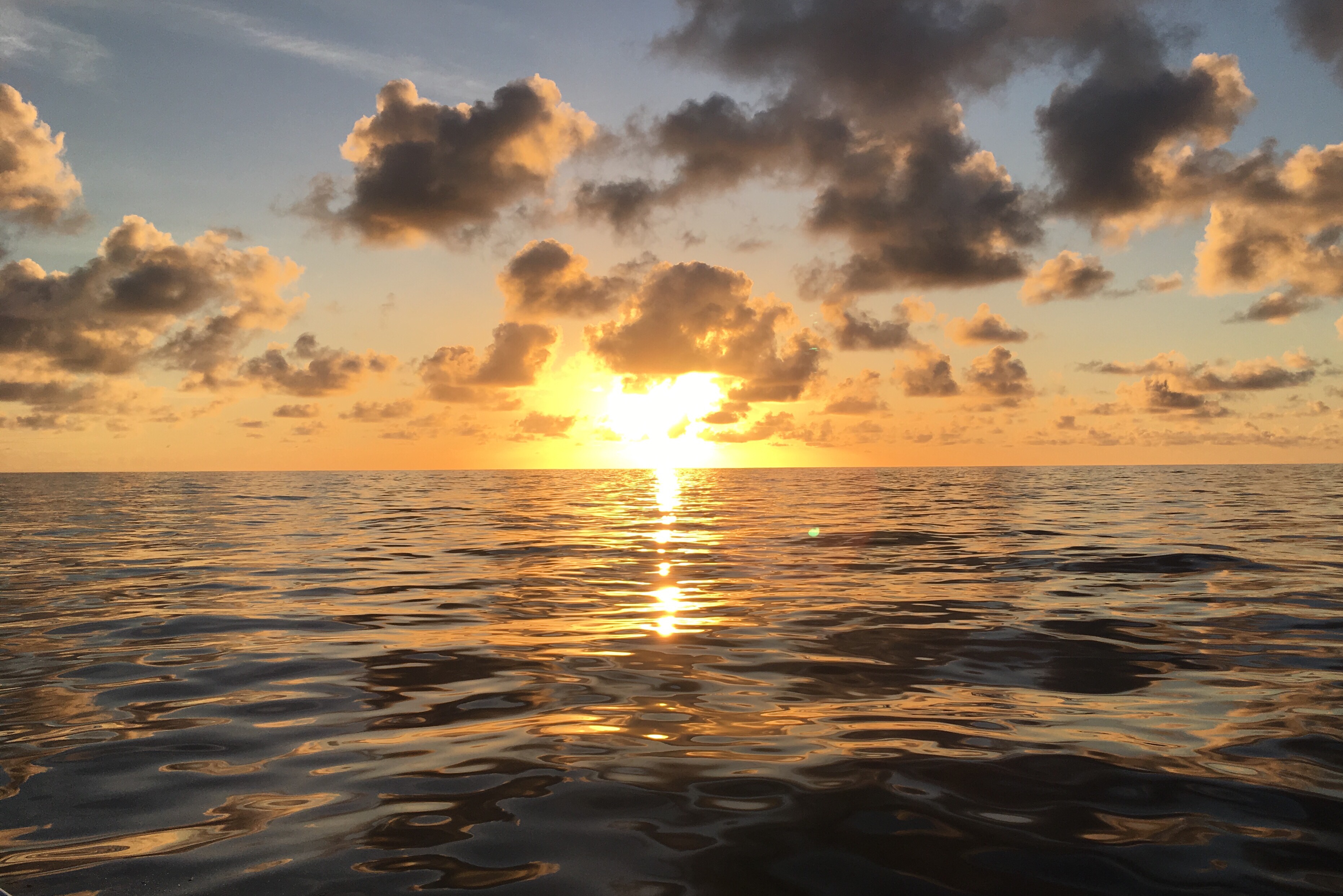 We arrived on time, at the right place, and pulled into our slip at the Old Bahama Bay Marina. We hoisted the yellow quarantine flag until Capt. Lori went ashore to clear in the crew. We skipped the big game but enjoyed our fill of conch and island drinks, which was my real superbowl. Sunset at the marina…