Day 5 – 5 bridges. 56 miles. The new thing today was having to time our arrival at bridges that only open on the hour, or on the hour and half hour.
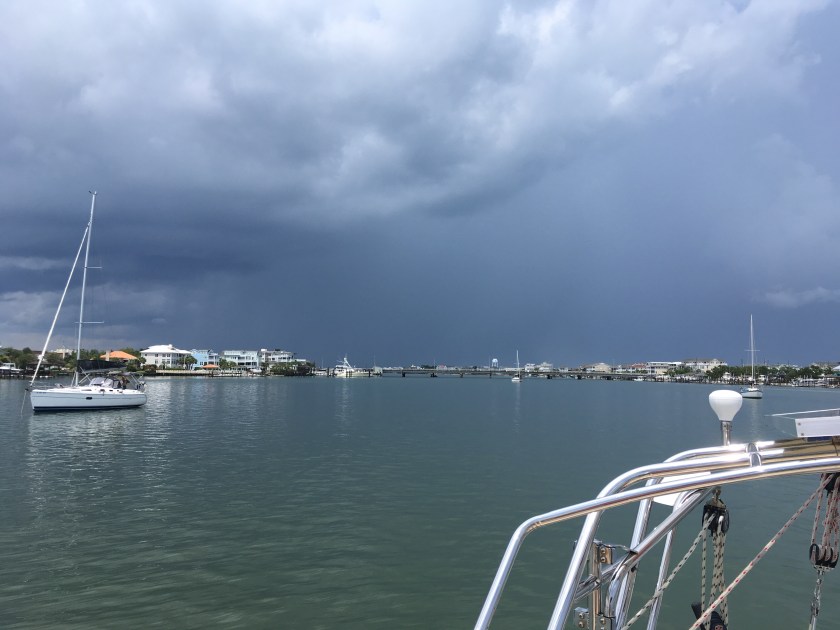
 We had to dodge some hellacious thunder and lightning storms by doing circles for a bit. The currents seemed to be fickle today. There are so many inlets to and from the Atlantic that one minute we’ll have the tide with us. But then we cross an inlet, and the current turns against us. Where inlets and rivers cross the ICW, sand builds up into shallow shoals, some are quite large and stick up above the surface of the water. We passed this one where the locals had erected a flag, a palm tree, and a parking meter with a cleat on the side for boats to tie up. 🙂

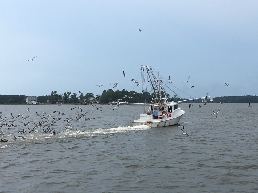
The ICW in these parts flows right past the United States Marine Corps’ Camp LeJeune. The ICW is sometimes closed here for hours due to live ammunition fire exercises.
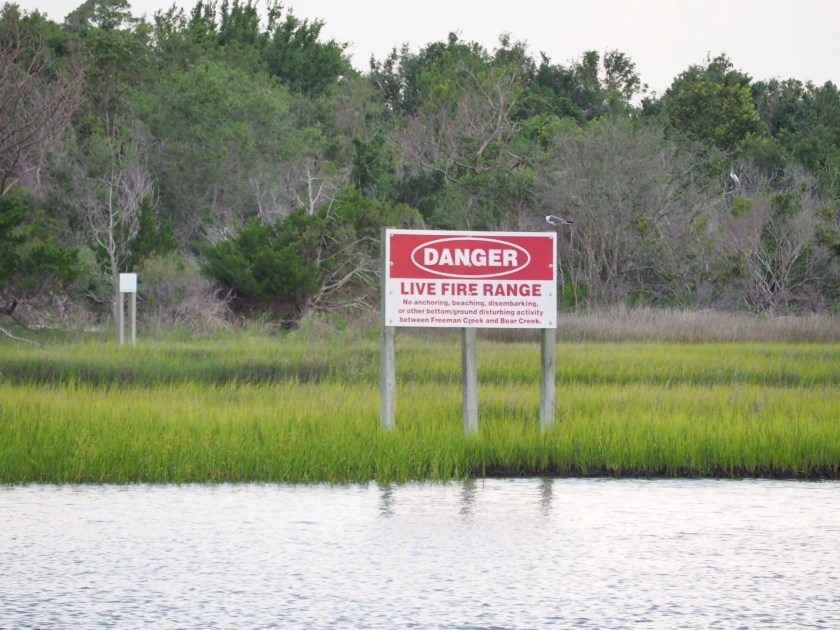
Target practice…

There were no live-fire exercises today, thankfully. We had originally planned to anchor right off the ICW here for the night. But, we had to abandon that plan due to the anchorage being closed for military exercises. We saw a space-age amphibious vehicle enter right in front of us.

I wonder what they would have done if we pulled in there to anchor. 🙂
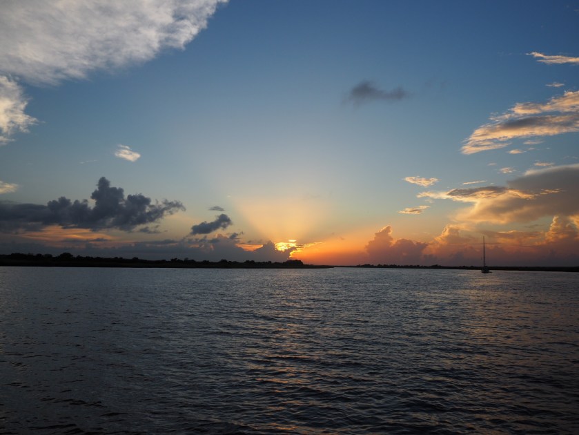
So we continued 15 miles farther north than we’d planned to be today, and are now at a lovely anchorage at the town of Swansboro. We grilled kebabs, watched a wedding reception on the waterfront, watched our boat swing until the currents changed 3 hours after high tide, and took in another lovely sunset.
The next post in our ICW journey: https://sheila365.com/2019/07/14/mm202/
(Note: If you’d like to read the entire 2-week adventure from the beginning, THIS LINK will take you to the first post in the series.)


 Today was supposed to be a short day but we were fighting mysterious tidal currents so we ended up only going between three and four knots for most of the day. Coming into Beaufort Inlet we passed this beautiful catboat. This one is for Monte…
 Tonight we are at a marina in Beaufort, NC. We are 3 slips down from this bad boy, the S/V Miniskirt.
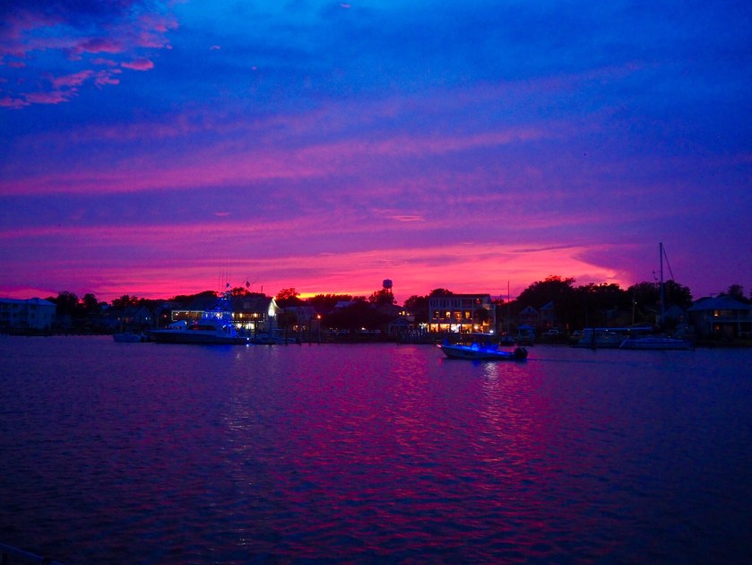
 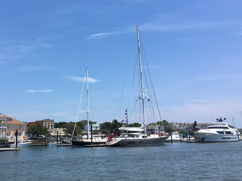 When Lori checked us in we got two wooden nickels for free beers at the marina bar. Let me tell you, my Yuengling went down fast. It was HOT!


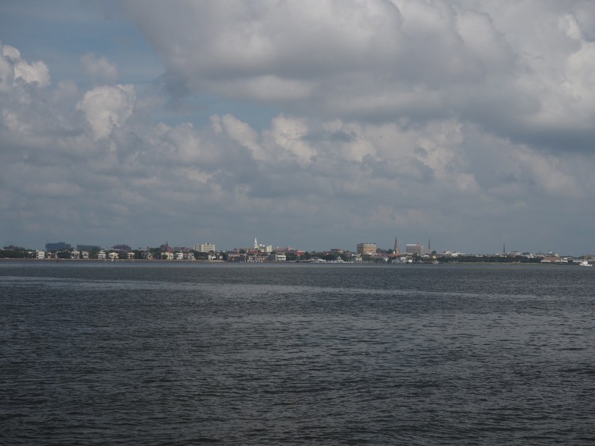
 Civilization, bridges, and traffic from the air and from the sea…
 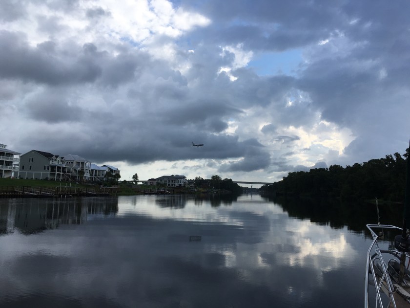 ICW kitsch…
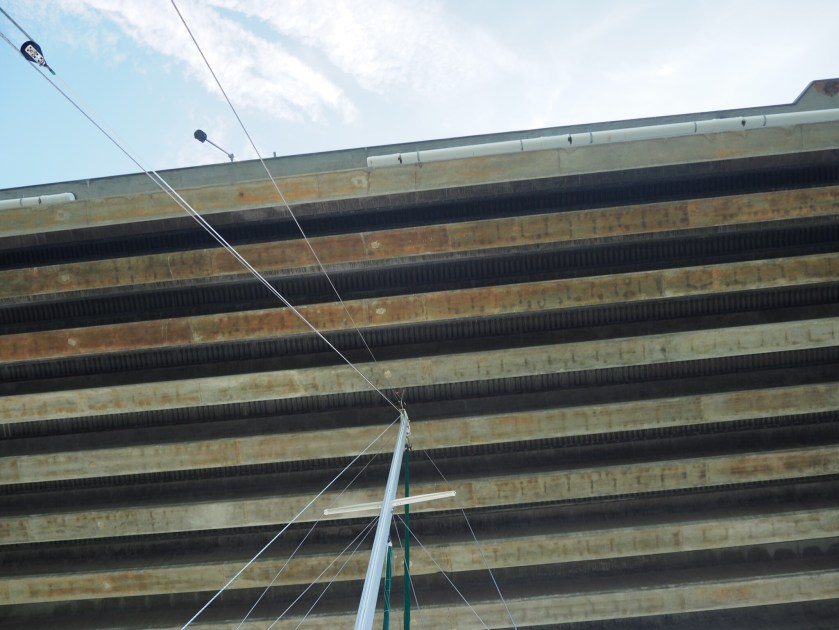
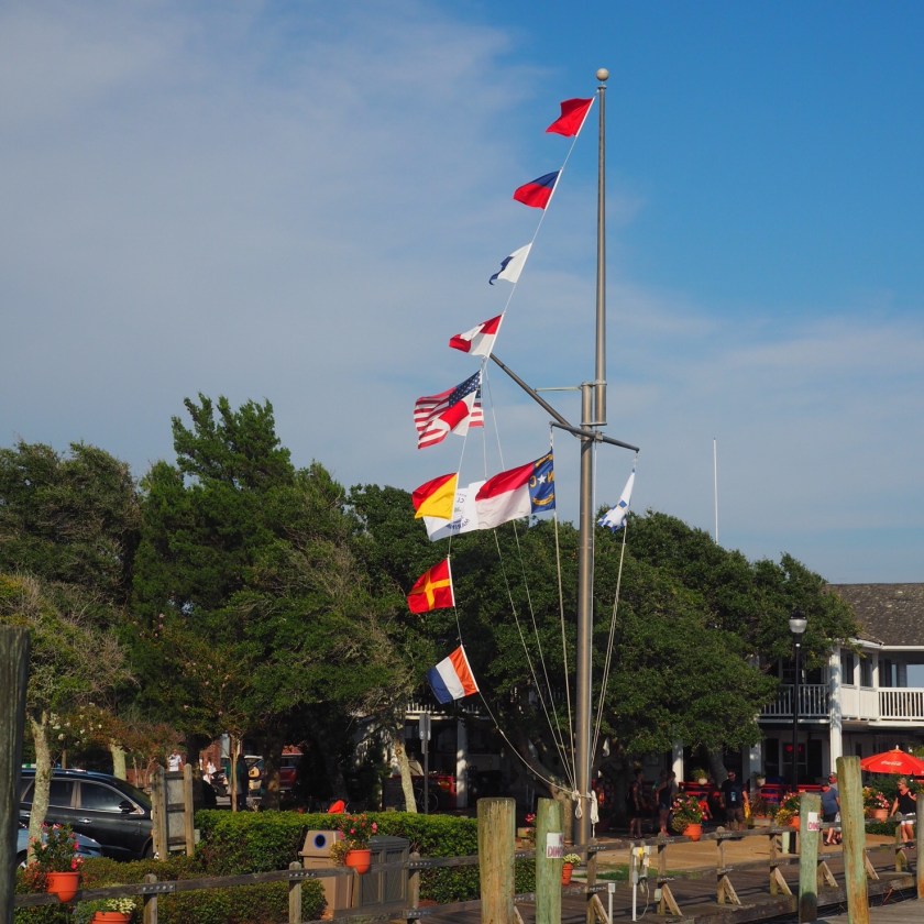
 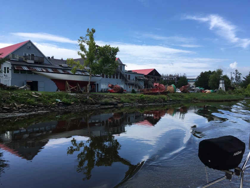 Swing bridges that opened when asked nicely…
  More kitsch…
 First channel marker in North Carolina…
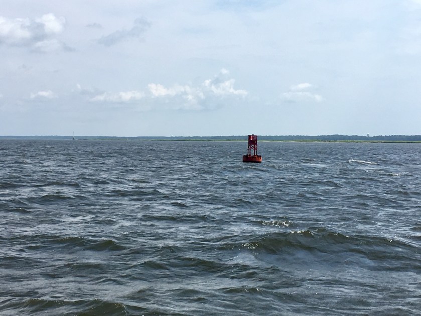
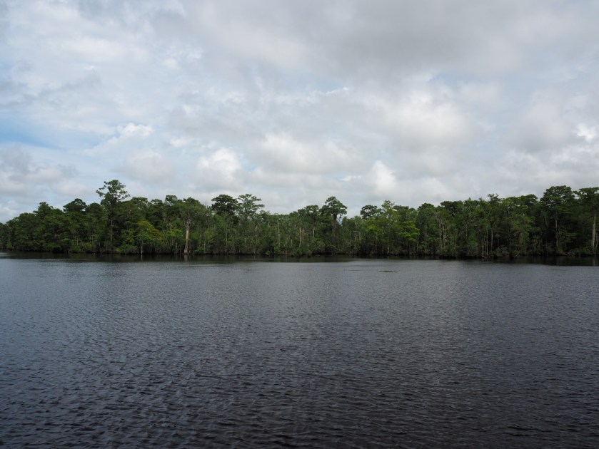
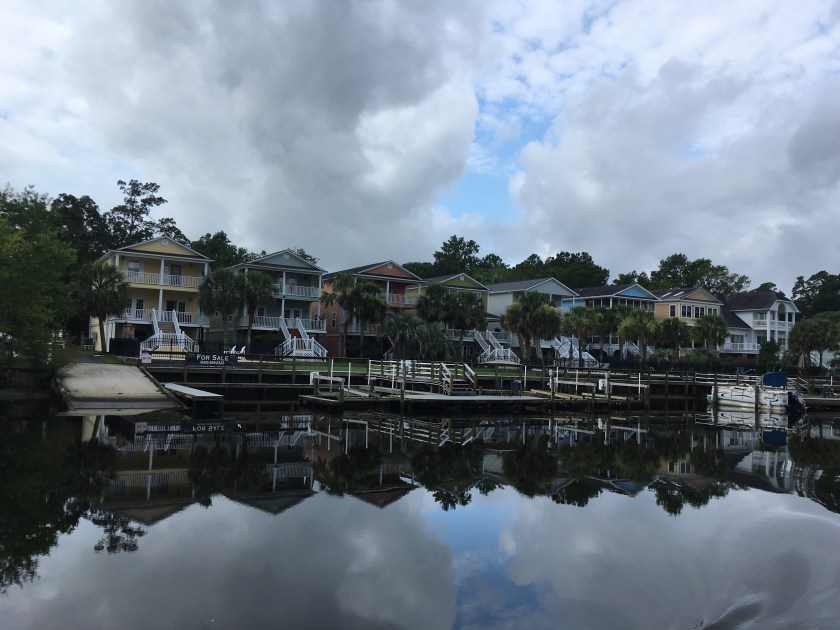
 And we got to see the backside of many beach homes…
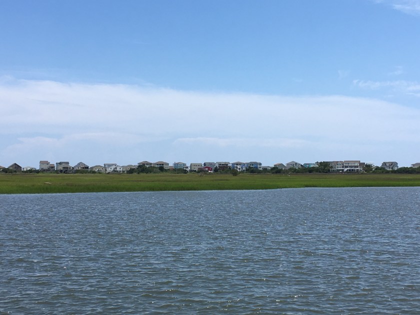 Home for the night…